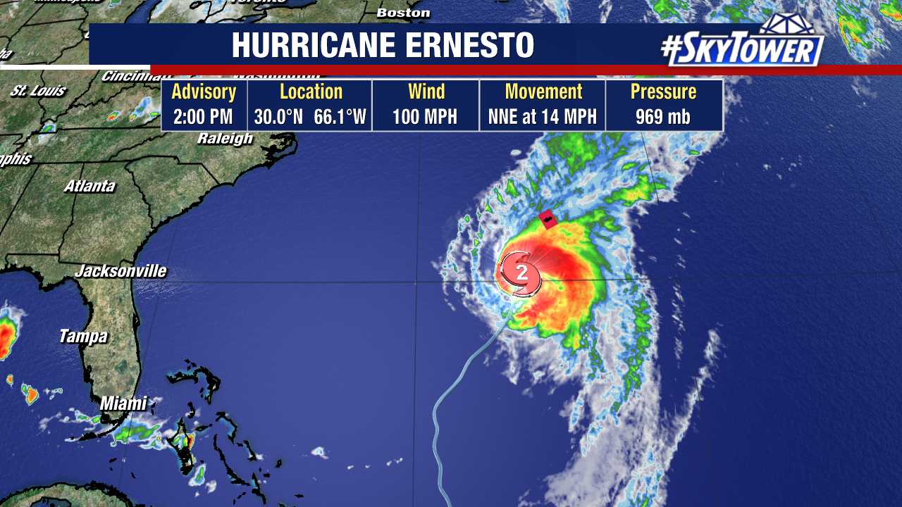
After strengthening overnight, Hurricane Ernesto’s intensification has come to a pause this afternoon. The hurricane is still battling dry air and moderate wind shear as it treks north toward Bermuda.

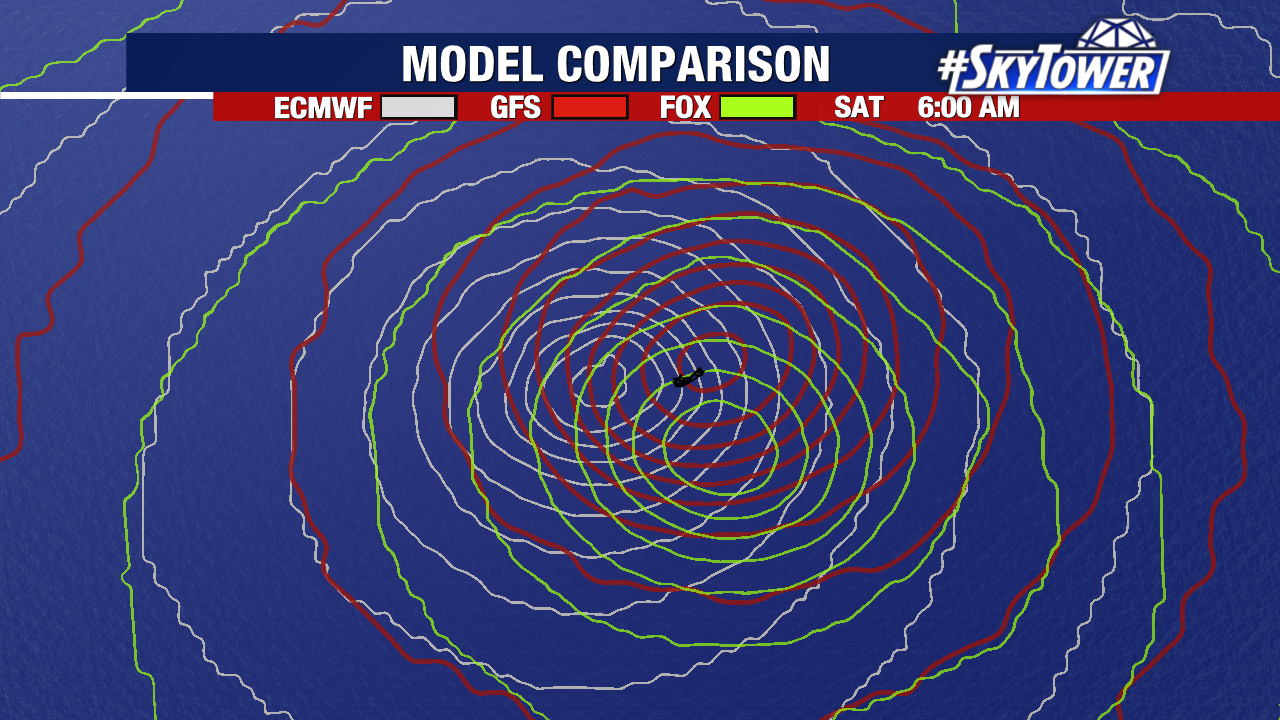
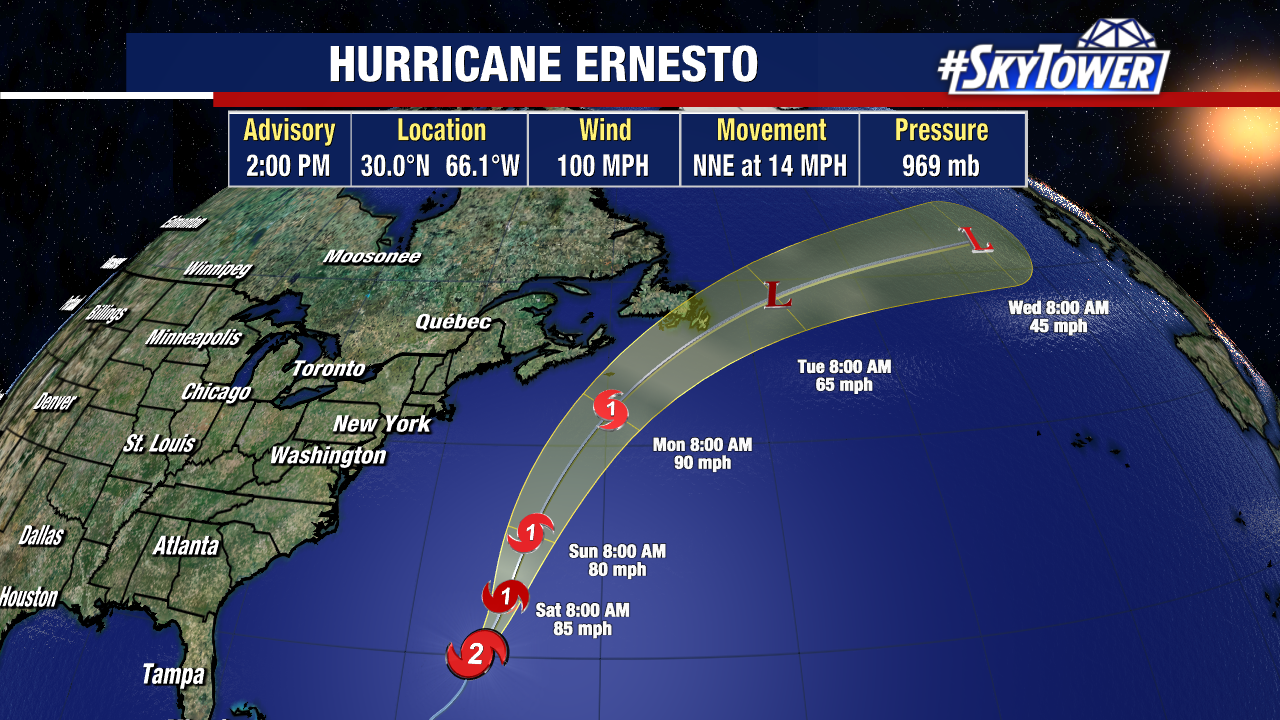
Weather models continue to take this system very close to Bermuda, with the possibility of a landfall not off the table. A hurricane warning remains in effect as tropical storm-force winds have already reached the island.

Coastal flooding and flash flooding remain an added concern. Rain totals in Bermuda between six inches and a foot from this system will be possible. Impacts from Ernesto will likely continue for the island through Saturday night.

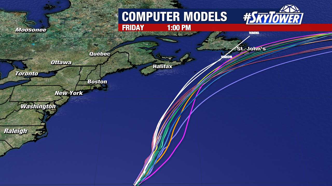
Dangerous rip currents and rough surf are anticipated across the U.S. east coast over the weekend. Newfoundland, Canada will need to monitor this hurricane carefully as they could be next to see notable impacts by the beginning of next week.
Thankfully, there are no other named storms or disturbances being monitored by the National Hurricane Center in the Atlantic at this time.
