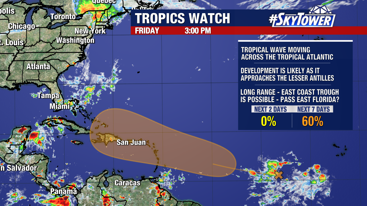
We are continuing to keep tabs a disturbance in the central tropical Atlantic. This tropical wave has a medium (60%) chance of development over the next seven days but is unlikely to form within the next two days.

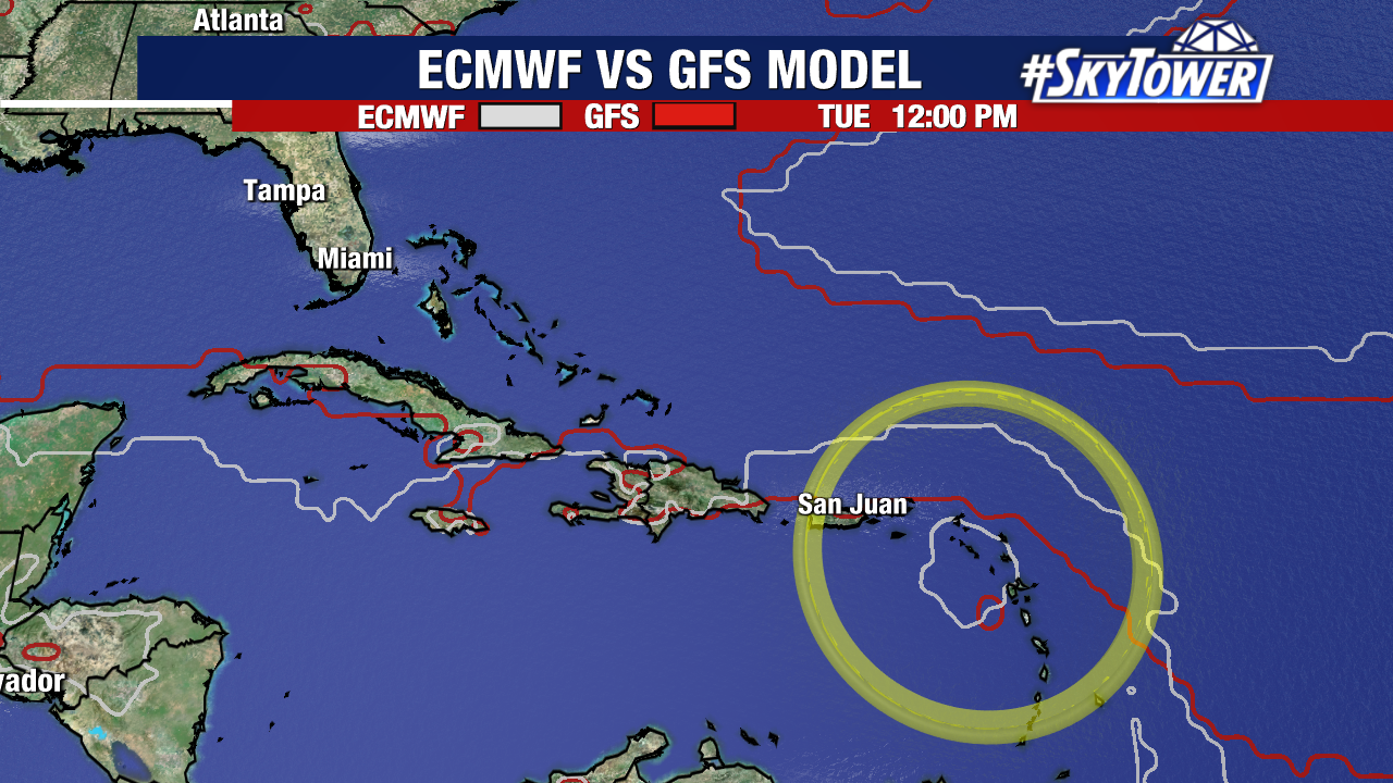
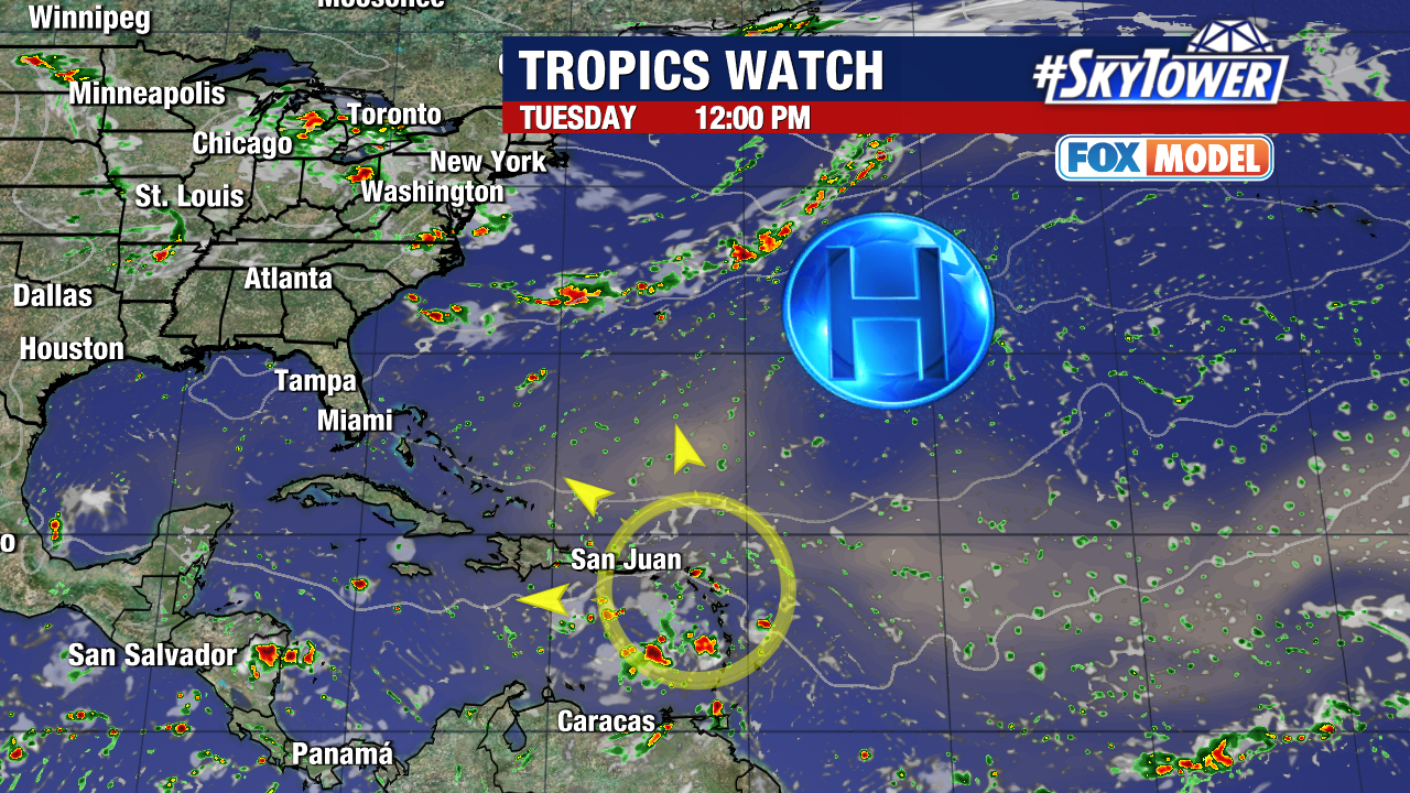
Weather models are still showing signs that this wave will attempt to organize as it approaches or reaches the Lesser Antilles. The American (GFS) and European (ECMFW) models each show this on Tuesday.

Until it does or does not form, it’s difficult to determine where it would ultimately go next. The majority of weather models (not all) recurve this system to the north before it reaches the United States. Whether or not this happens will depend on the strength of this system, and how a variety of upper-level steering factors time out.

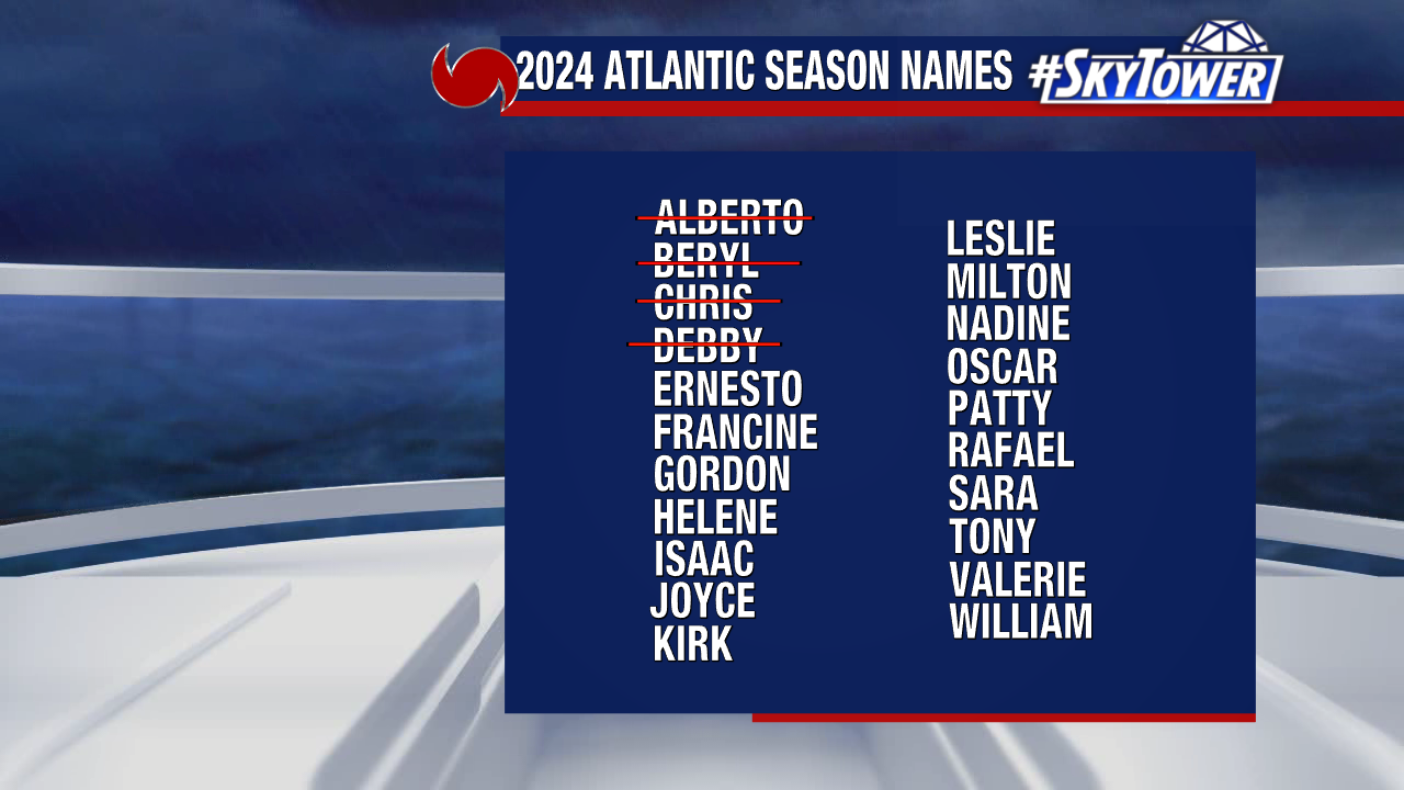
We have plenty of time to monitor this, as it is roughly 3,000 miles away from our coast. The next name on this year’s storm naming list will be “Ernesto”.
