
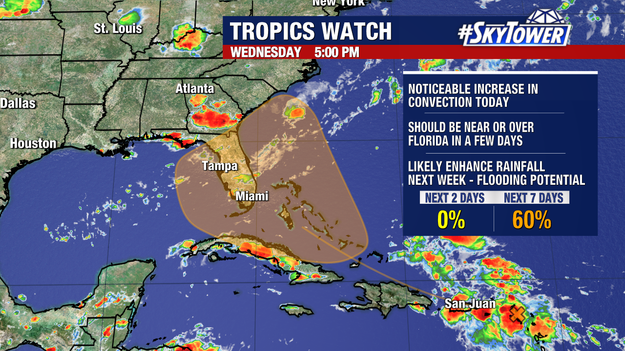
We are continuing to monitor a disturbance over the Lesser Antilles that will have a chance to develop into a tropical depression over the western Atlantic or eastern Gulf of Mexico within the next week. The NHC has still given it a medium (60%) chance of cyclone formation in the next seven days.
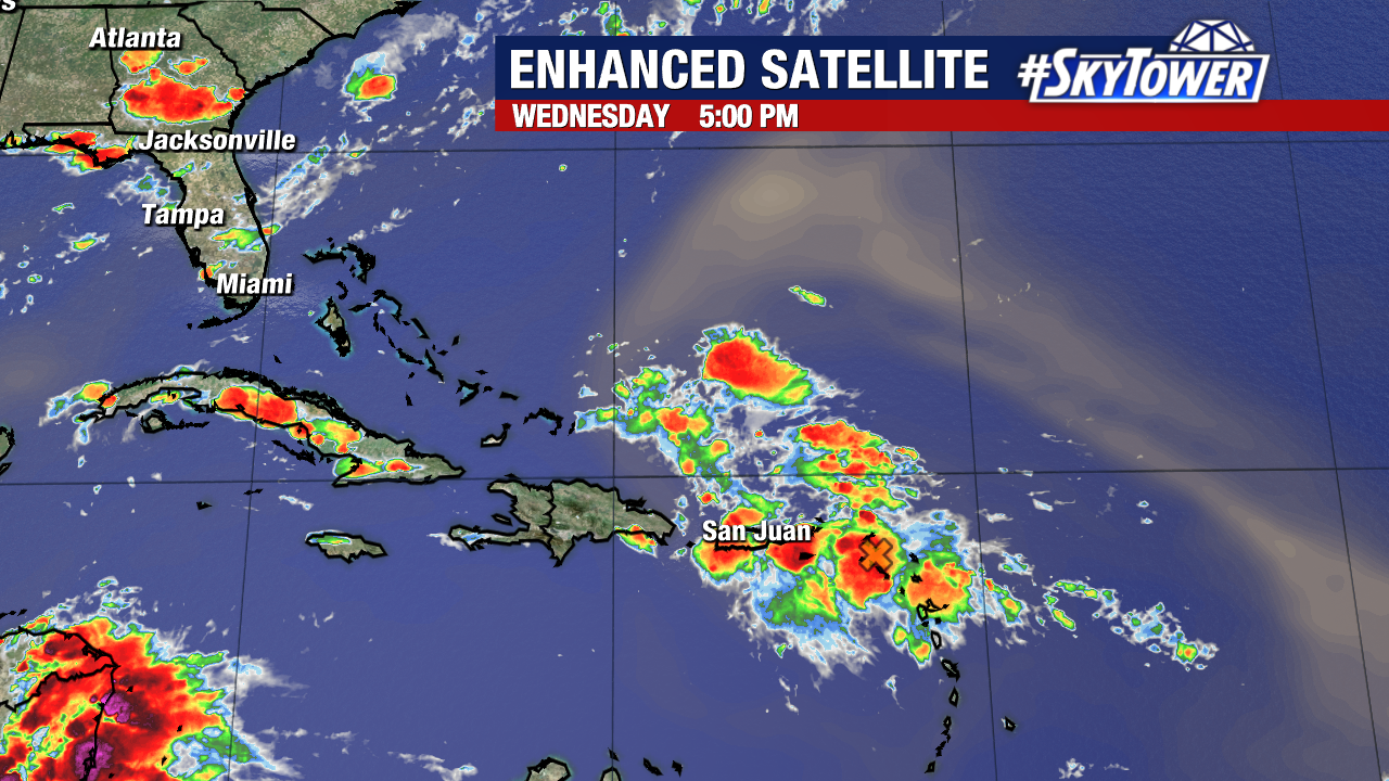
A cluster of showers and storms have increased in presence around the tropical wave today. However, a low-pressure center has not formed within this area.
Models are in some disagreement regarding whether this system will develop and the ultimate track it would take. If this disturbance forms, there are two potential paths it would likely follow. Path one would take it into the eastern Gulf as a relatively weak rain-maker. Path two would take it east of the state as a stronger and more organized storm.
The southeast U.S. coast and central/eastern Gulf coast will need to monitor this system’s progression over the next few days. Odds are increasing that this will bring increased rain chances to Central Florida toward the end of the weekend and the start of next week.
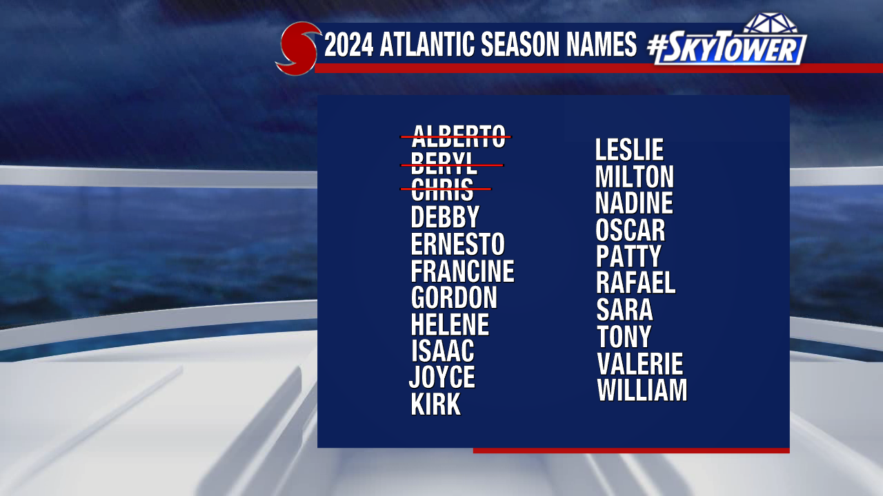
The next name on our storm naming list will be “Debby”.