Right on cue with the start of August – the tropics are showing sings of life after a three week lull in the Atlantic Basin.
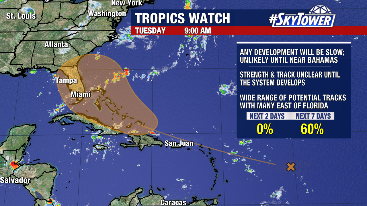
Chances of development continue to climb for the tropical wave we’ve been closely monitoring. The National Hurricane Center is giving it a 60% chance to form in the next 7 days.
Slow development is going to be the story – so it’s important to stay with the forecast in the coming days. If this develops it will be when the system is closer to the Bahamas.
The southeastern U.S., Greater Antilles and the Bahamas are where impacts look most likely at this point. It could just be wind and rain, or this could end up being a tropical system.
KEEP IN MIND: nothing has developed yet and models struggle with a storm’s strength and track before a low level center forms.
We will have a better idea in the coming days as the wave moves out of the dry air and into more favorable areas for development.
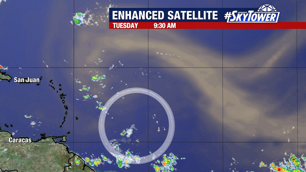
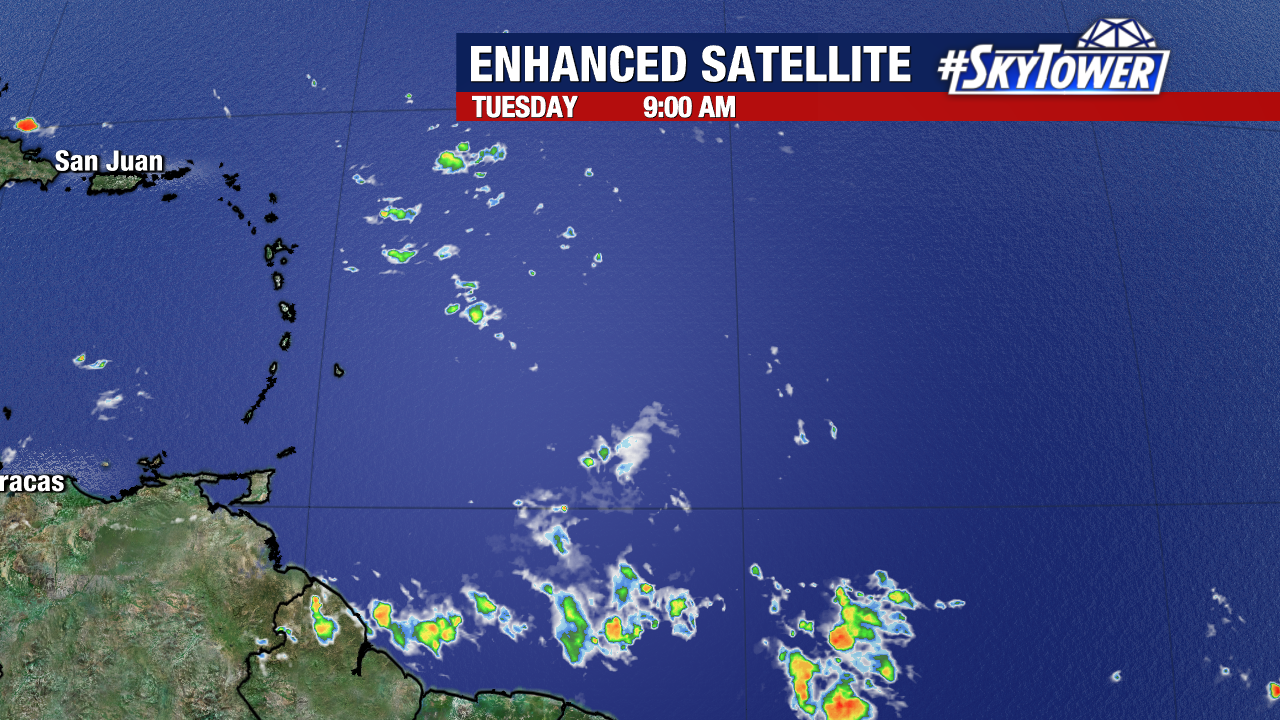
The wave is still several hundred miles east of the Lesser Antilles, producing limited storm activity thanks to the dry Saharan air. That’s why this area has a 0% chance to form in the next 2 days.
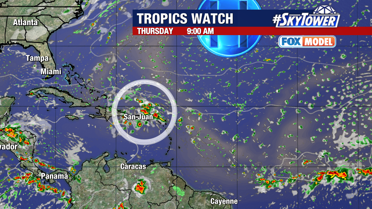
General track still favors a northwest motion, with models leaning towards the Bermuda High steering it into the SE instead of the Gulf of Mexico. Our exclusive Fox Models showing a surge of tropical moisture moving into Florida this weekend, likely late Saturday – Sunday.
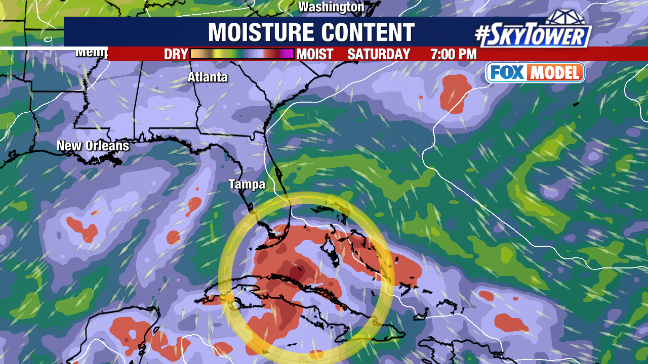
At this point, record warm waters in the Atlantic Ocean and weak wind shear should work in the storm’s favor and allow it to strengthen later this week in the vicinity of the Bahamas.
Here’s the latest thinking on the timing:
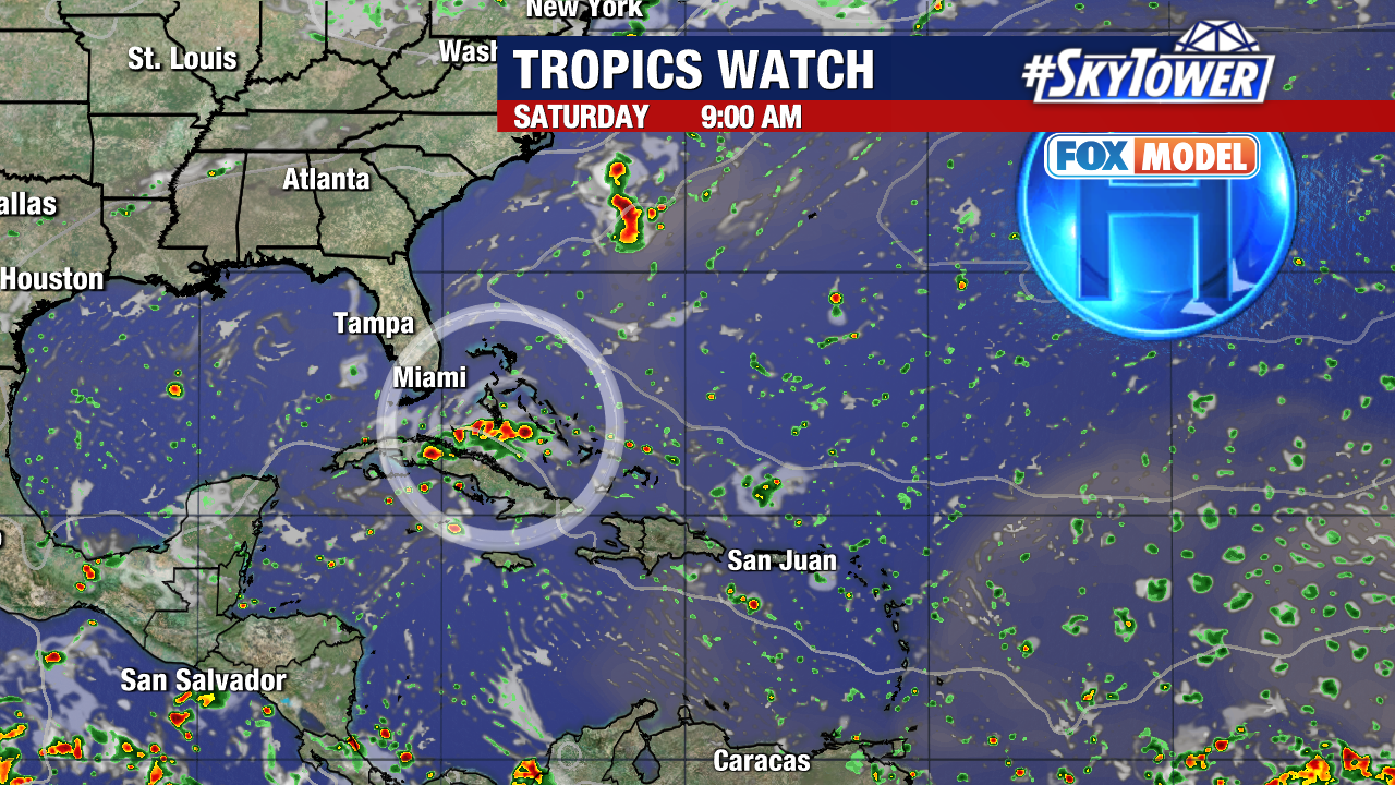
Winds and seas associated with this tropical wave will increase northeast of the Leeward Islands Tuesday night into Wednesday, then move to the north of Puerto Rico and Hispaniola through Thursday.
From there, the wave will likely move across the Bahamas Friday and north-northeast of the Bahamas through Saturday night. Most likely impacts to the SE Coast will be this weekend.
Keep checking for updates!
