Since Hurricane Beryl’s three landfalls in July, the tropics have been hitting snooze. Things are changing as we wait and watch a wave in the Atlantic.
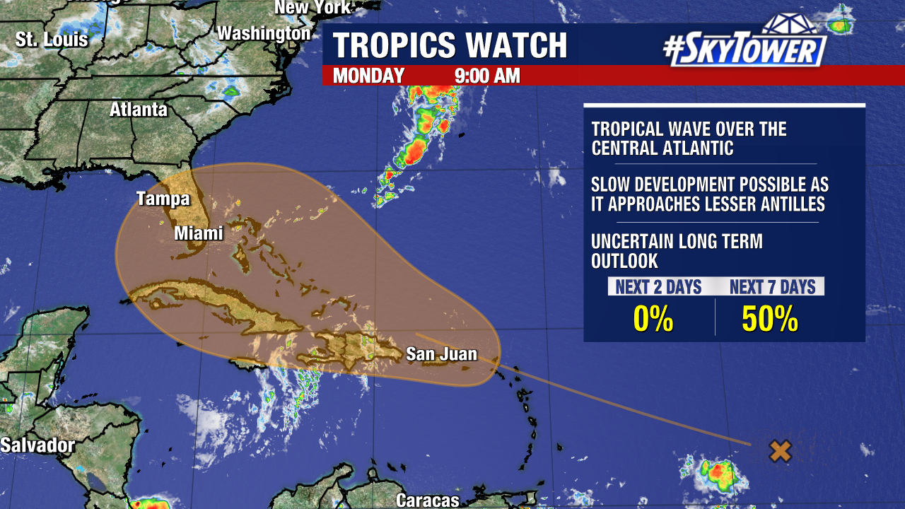
The odds have increased – now a 50% chance it will develop over the next 7 days. This area of disturbed weather has slowly been trying to get its act together in the central Atlantic Ocean.
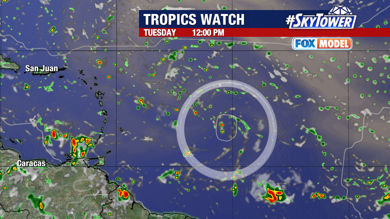
This area of disturbed weather could interact with an approaching tropical wave. Conditions are expected to be favorable for development later this week.
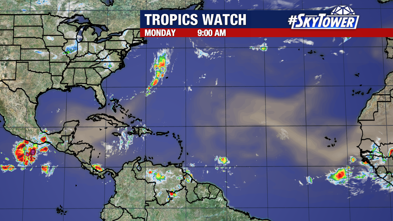
Disorganized storms are on the southern edge of a large plume of Saharan Dust, which has been keeping the tropics quiet.
The disturbance will encounter less of this dry Saharan air as it continues to move generally west-northwest.
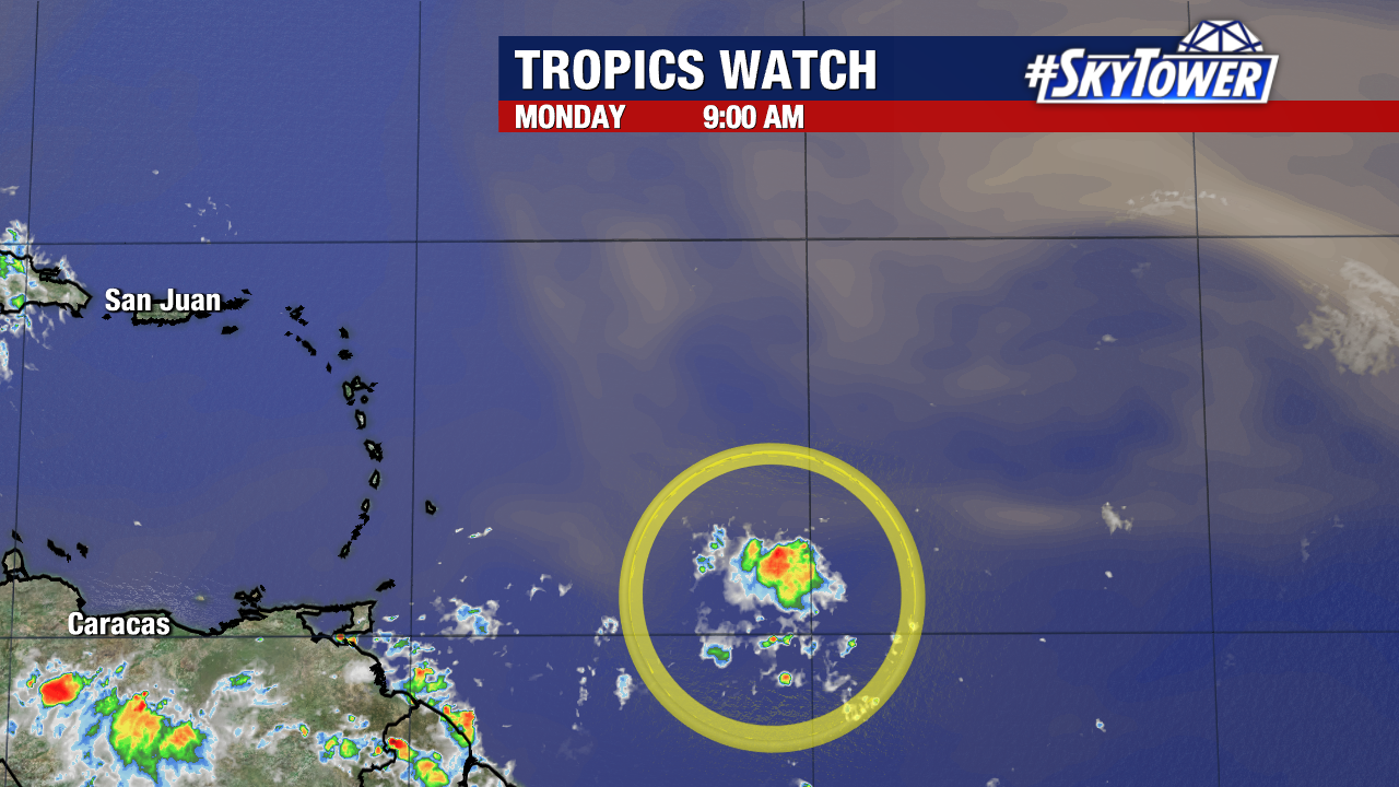
There is still a lot of uncertainty on if this will even develop into a tropical depression. The NHC says, a tropical depression could form while the system is near the Greater Antilles or Bahamas.
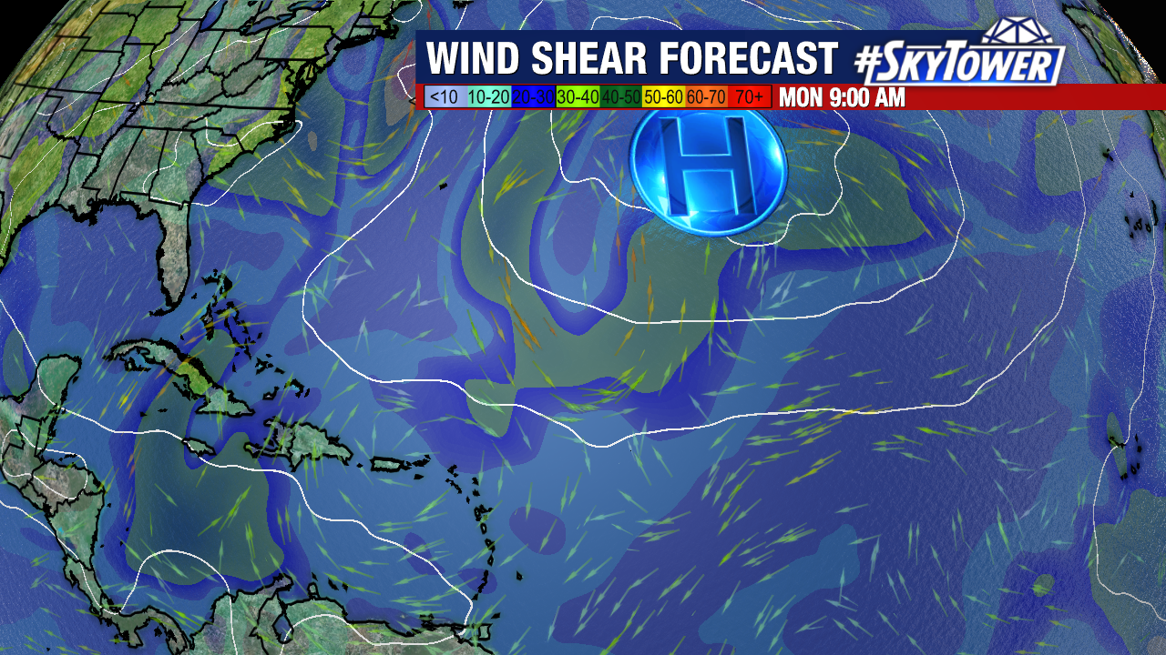
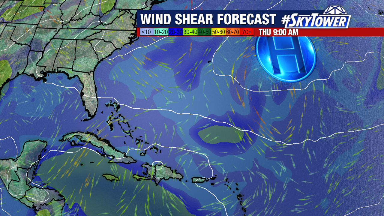
If the storm develops, we’ll have a much better idea of where it will track. The Bermuda High will steer it either toward the Eastern Seaboard or into the Gulf of Mexico over the next 7-10 days.
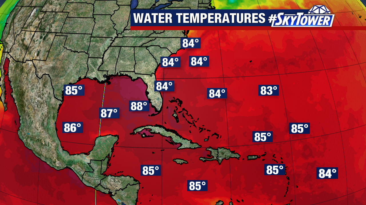
This is several days out and the picture will become more clear in the coming days. The storm could have the ingredients in place to strengthen. Waters are plenty warm across the entire Atlantic Basin.
Wind shear has been strong the last few weeks, also limiting tropical development, but that’s changing as well. There won’t be much wind shear for this wave to interact with.
If this strengthens into a tropical storm, it will be named Debby and be the fourth named storm of the season.