After a busy stretch of tracking Hurricane Beryl over the last week and a half, the tropics are slowing down. At least for now! And we’ll certainly take it after what has been a historic stretch for the tropical Atlantic.
Looking ahead over the next week, no tropical development is expected across the Atlantic basin. The first big factor is the subtropical high remaining strong over the next week.
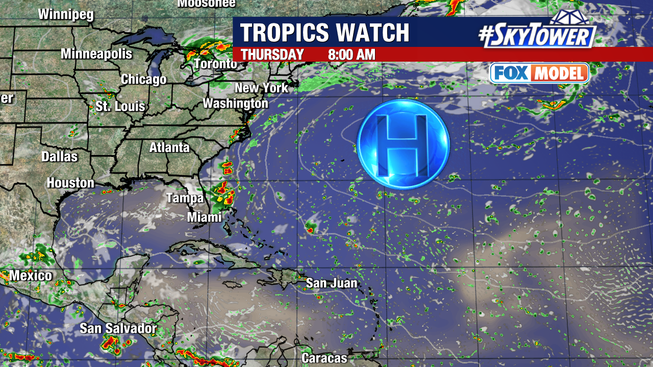
The other main factor is Saharan dust blanketing the Atlantic, along with parts of the Gulf of Mexico and Caribbean.
It’s the time of year we typically see this dry air drifting across from the coast of Africa. This Saharan air layer is about 50% drier than the moist tropical air that feed storms over the Atlantic.
That is why tropical development is typically not in the Atlantic this early in the hurricane season. July hurricane are most likely to form in the Gulf, western Caribbean Sea and western Atlantic.
Speaking of – that’s one record Hurricane Beryl broke. The storm developed farther east than any June hurricane since records began. Beryl continued to rewrite record books becoming the earliest Category 5 hurricane on record.