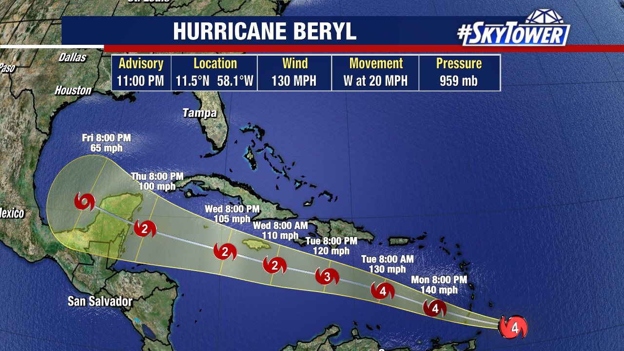
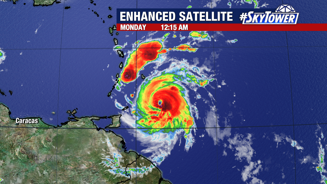
Hurricane Beryl will be crossing the Lesser Antilles and entering the Eastern Caribbean today. At the moment, it is a powerful Category 4 hurricane with sustained winds of 130mph. Beryl is poised to bring catastrophic hurricane-force winds, a life-threatening storm surge, and damaging waves to the Windward Islands as it passes. Hurricane warnings are in effect for Barbados, Saint Lucia, Saint Vincent and the Grenadines, Grenada, and Tobago. Tropical Storm warnings are in effect for Martinique and Trinidad.
After potentially strengthening more today, Beryl is then expected to undergo some weakening as it traverses across the central and western Caribbean Sea. From there, Beryl would likely pass near or through the Yucatan Peninsula. The 11 pm advisory now shows Beryl potentially re-emerging into the Gulf of Mexico as a tropical storm.
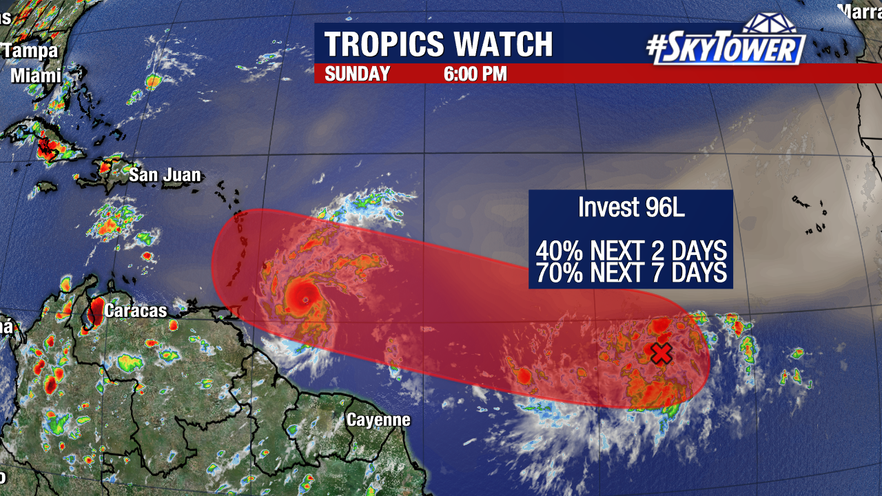
Invest 96L has a high (70%) chance of formation over the next seven days. If this system forms, it would initially take a similar path to Beryl into the Eastern Caribbean. However, conditions in this area do not appear as favorable for strengthening as they were for Beryl. Most models do not strengthen Invest 96L into a hurricane in the Caribbean Sea. The next name assigned to any tropical storm or hurricane would be “Debby”.
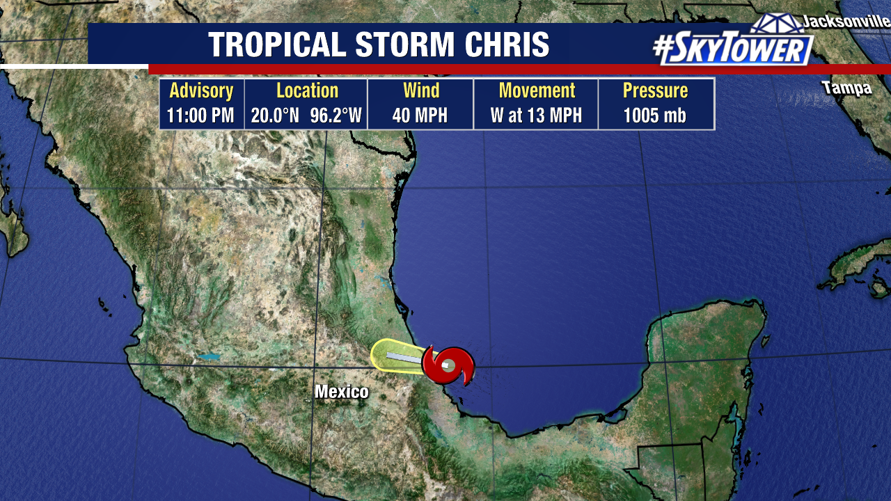
Tropical Storm Chris formed in the Gulf of Mexico late Sunday night.
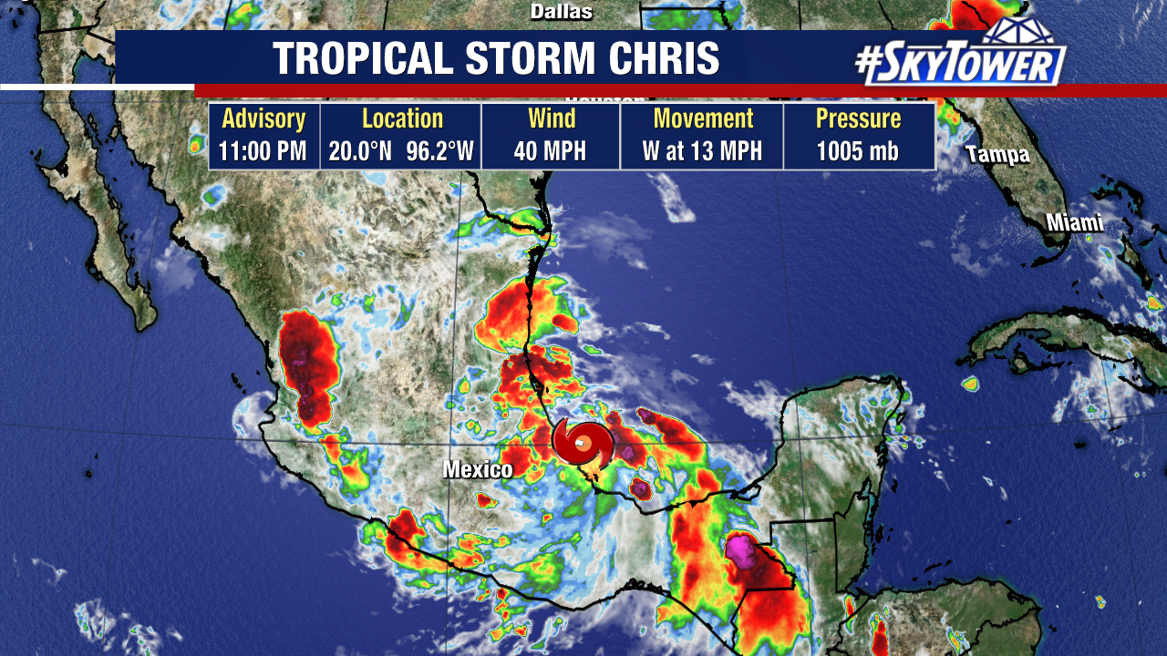
Chris will be a short-lived system that quickly dissipates as it pushes onshore early this morning. Heavy rain, tropical storm force winds, and mudslides will be possible across eastern Mexico today. Chris will bring no impacts to the United States.
