
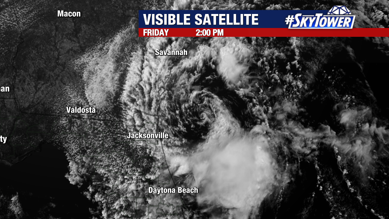
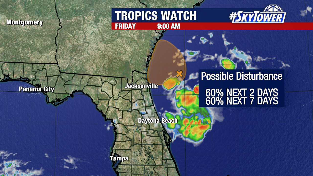
Invest 92L is now less than 80 miles off the coasts of Northern Florida and Georgia. Among several factors, dry air will make the system struggle to strengthen too much before pushing onshore tonight. Whether it organizes into a tropical depression or not, the disturbance will bring heavy rainfall and windy conditions to nearby areas. This additionally brings a threat of high surf and rip currents to portions of the east coast.
Local impacts will be even smaller. A notable increase in humidity in the Tampa Bay area and slightly elevated rain chances for communities north of I-4 will be possible.
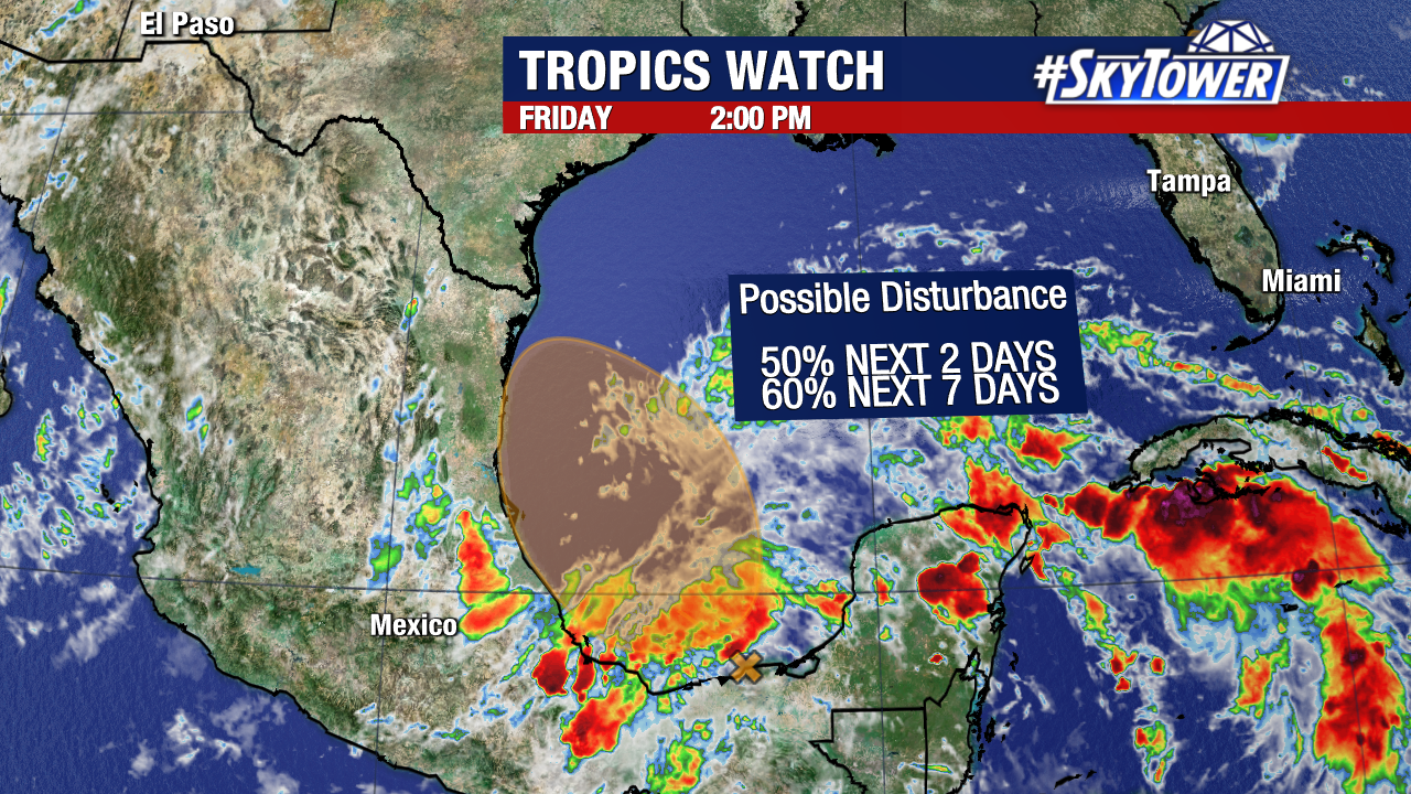
In the Southwestern Gulf, we are continuing to monitor an area of disturbed weather that has favorable odds to develop within the next week. Forecast models are in increasing agreement that this will attempt to become a tropical depression in the Bay of Campeche over the weekend. The National Hurricane Center has given the disturbance a medium (60%) chance of formation over the next seven days. Regardless of formation, this system would not bring impacts to Florida.
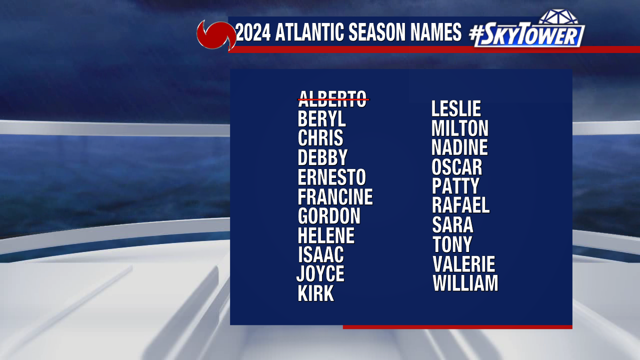
Now that “Alberto” has been used, the next named tropical storm or hurricane that forms would take the name “Beryl”.