
The area we’ve been watching in the SW Gulf of Mexico has now officially been designated Invest 91L by the National Hurricane Center. Chances are increasing this develops into a tropical depression or tropical storm by midweek.
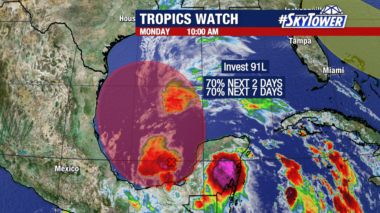
The NHC is giving the system a 70% chance to develop in the next 2 days, along with a 70% chance in the next 7 days.
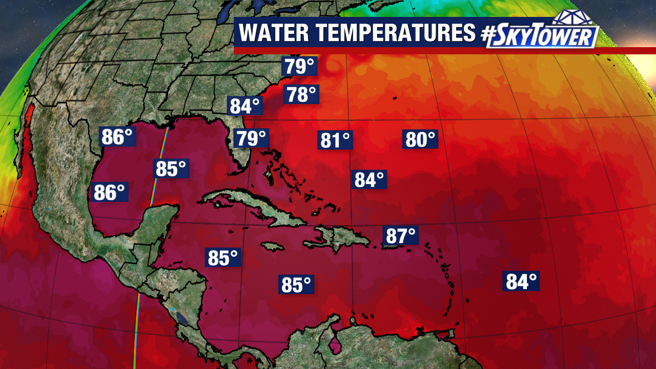
Near the Bay of Campeche, conditions are favorable for a broad area of low pressure to form and start moving northwest. From there, warm waters in the Gulf offer plenty of fuel for this storm to strengthen as it approaches the coast.
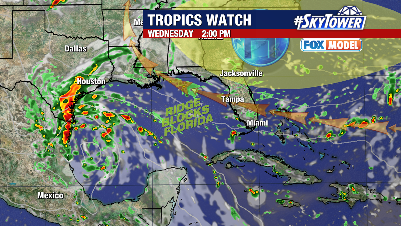
This will bring a threat for flooding along the western Gulf Coast as Invest 91L pulls in deep tropical moisture, especially Tuesday and Wednesday.
Texas and mainland Mexico look to get the brunt of the heavy rain. Winds will increase out of the south and southeast, bringing high surf and rip currents as well.
Meanwhile, a strong ride of high pressure sitting over the East Coast will help steer this storm away from Florida.
There is another system the NHC is watching for additional development near the Bahamas.
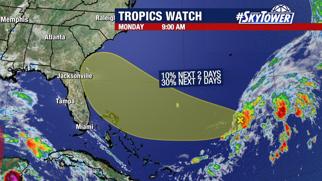
This one has a lower chance for development, only 30% over the next week. There is some drier air that this storm will have to battle with as it approaches the Southeast coast later this week.
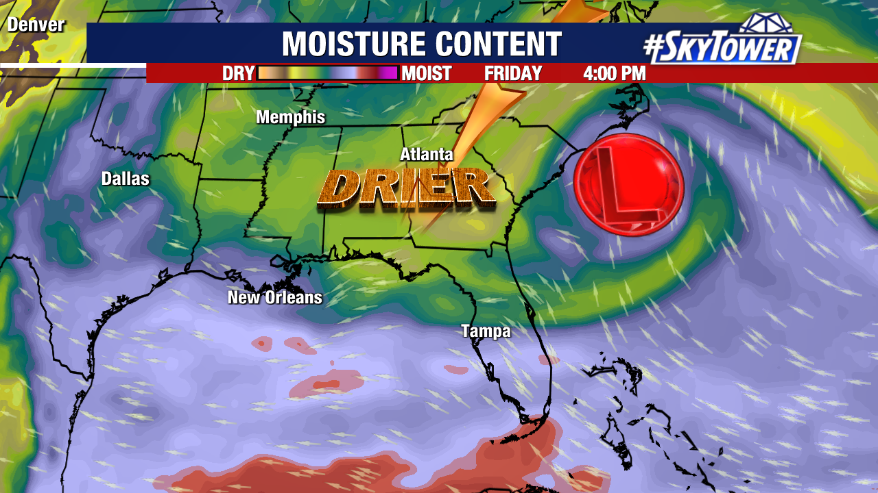
As the storm pulls in tropical moisture, this still could could bring heavy rain to the SE regardless of tropical development. We’ll watch for impacts to the Atlantic Coast later in the week, mainly Thursday – Friday.