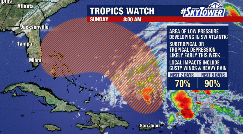
Confidence is growing that a disturbance in the southwestern Atlantic could acquire tropical or subtropical characteristics as it nears the state of Florida this week. As of Sunday morning, the National Hurricane Center is giving a broad area of low pressure east of Florida a 70% chance of formation over the next 2 days and 90% over the next 5 days.

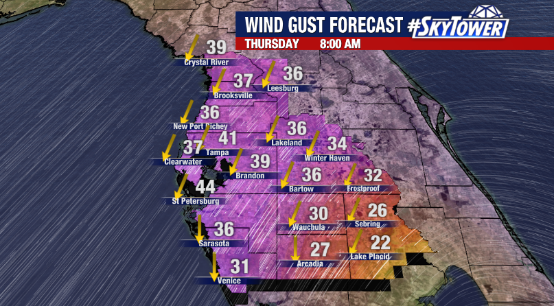
Regardless of development, there will likely be local impacts including gusty winds and heavy rain for the Tampa Bay region as well as rough surf and coastal flooding for the east coast of Florida due to strong onshore winds and full moon enhanced tides.

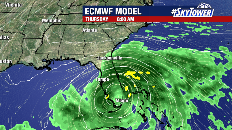
While environmental conditions appear conducive for development in the Atlantic and the disturbance could be named Nicole or Owen in the coming days , it’s important to keep in mind this will by no means be anything like Ian. We expect it to remain relatively weak as it moves slowly westward or southwestward towards the Sunshine State. The weather will however turn unsettled by midweek as heavy rain and wind gusts up to tropical storm force spread across the state.

