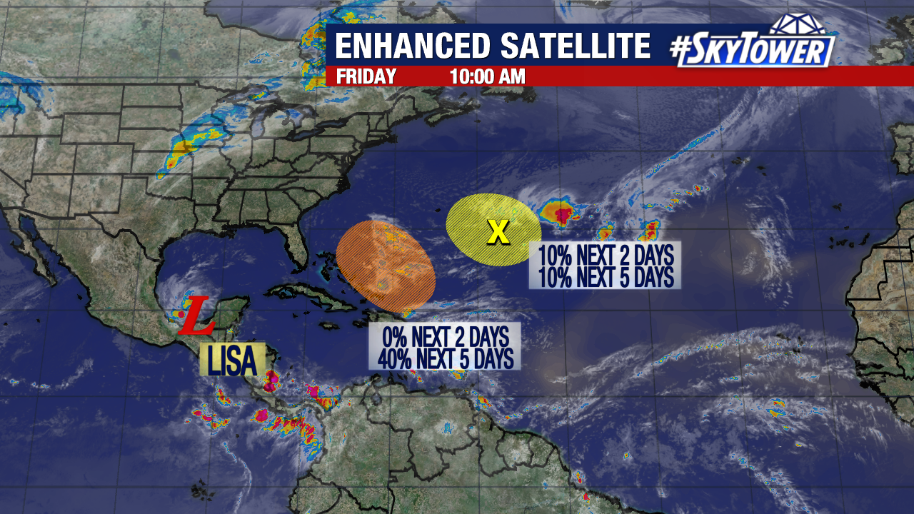
We had a flurry of late-season tropical activity this week, including two simultaneous hurricanes in the Atlantic – Lisa and Martin – for only the 3rd time on record! Things are a bit quieter heading into the weekend, and the main story heading into next week will be the potential for some weak development east of Florida.

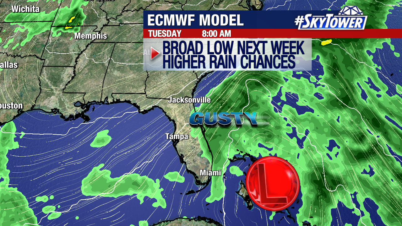
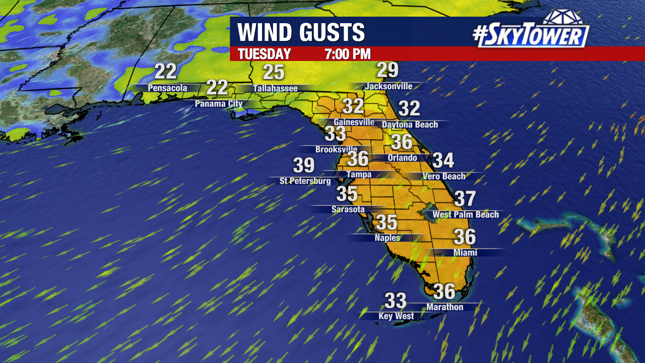
A broad area of low pressure is likely to form across the northeastern Caribbean Sea and southwestern Atlantic over the next coupe of days. It’s possible that this begins to take on some tropical characteristics next week, but any development should stay weak. As this moves in a general westward direction next week, it will lead to a string of days with some gusty winds and fast moving downpours for parts of the Southeastern U.S. Atlantic coast and Florida. In addition, some minor coastal flooding will be possible on Florida’s east coast due to the combination of strong onshore flow and predicted king tides.


