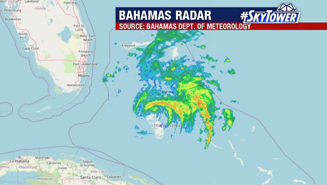
Hurricane Isaias has been fighting against some dry air and moderate shear so far today. Morning radar out of the Bahamas shows that the eye is actually open on its southern side. The worst of the weather remains on its northern and eastern sides.

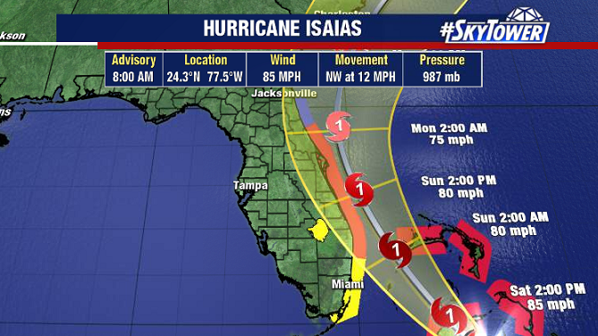
With these factors working against it, don’t expect much strengthening as it moves through the Bahamas today, and near Florida’s east coast on Sunday. It’s going to be a very close call for Florida. While the center of the storm of the storm is likely to stay just offshore, those along the coast still need prepare for the possibility of glancing landfall.

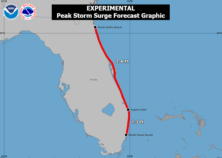
Hurricane warnings are in effect from Boca Raton, north to the Volusia/Flagler county line. Storm surge in those areas may be as high as 4 feet, especially if the center tracks right up the coast.

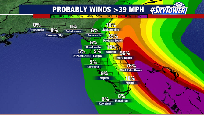
Hurricane-force wind gusts will also be also be possible right at the coastline in these warned areas, with max wind speeds lowering the further west in the state you go. For example, around Tampa Bay max wind gusts will only be on the order of 20-30 mph. The further offshore the center stays, the better the outlook.

