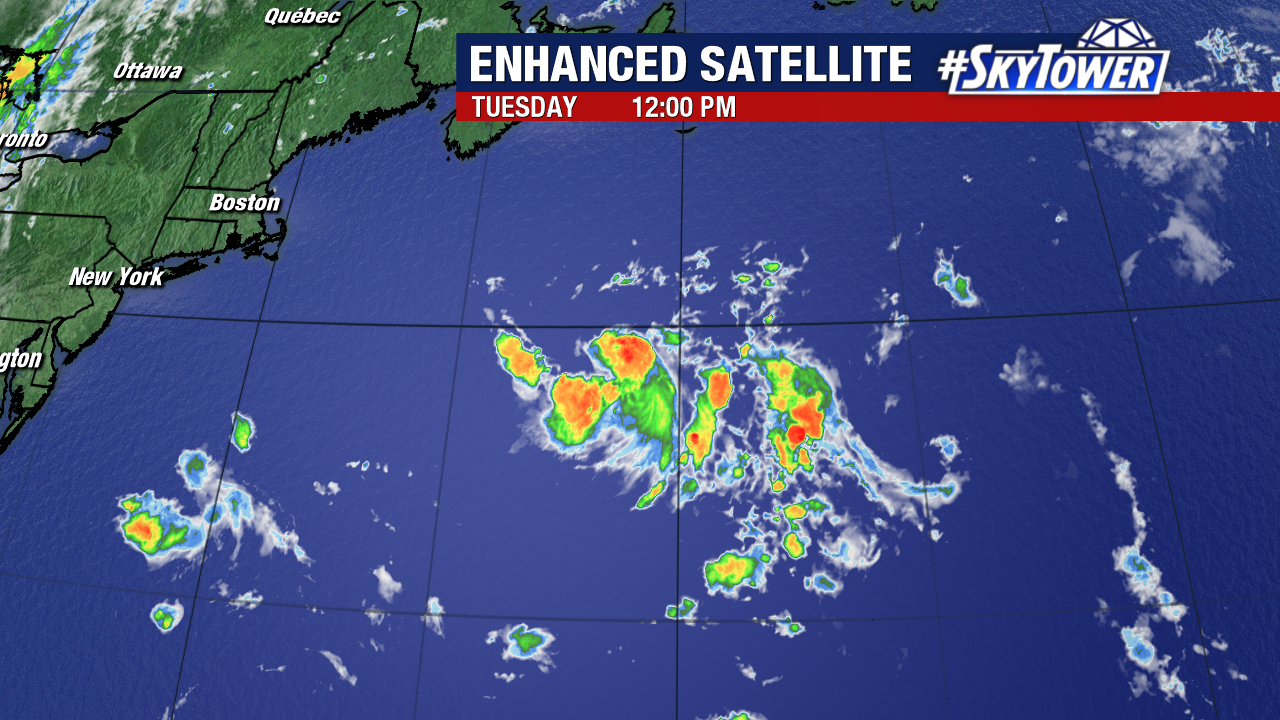
On Monday we were monitoring a weak area of low pressure off the coast of Cape Cod. I mentioned that if it had any chance of developing it needed to tap into the warmer waters of the Gulf Stream. By late Monday afternoon it was doing just that. The National Hurricane Center started advisories on Subtropical Depression #4. This is because the system did not have purely tropical characteristics but was moving into an environment that it was possible to transition into a tropical system.

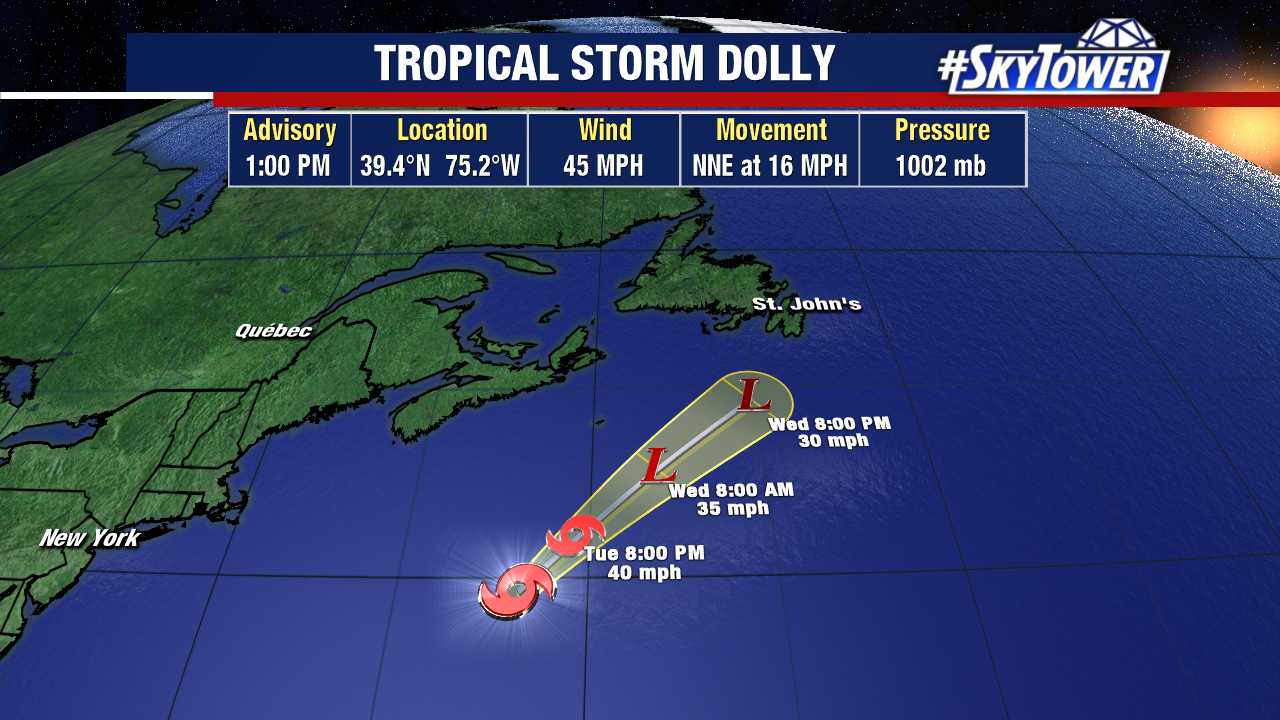
By noon on Tuesday, the Subtropical Depression had moved over warmer waters of the Gulf Stream and transitioned into a Tropical Storm. It became known as “Dolly” with winds of 45 mph. The prognosis for Dolly remains much the same regardless of whether it developed or not. It will continue to move northeastward and eventually move back over cooler waters once again. This will begin the transition away from a tropical system and it will become a non-tropical low or dissipate over cooler waters of the north Atlantic.

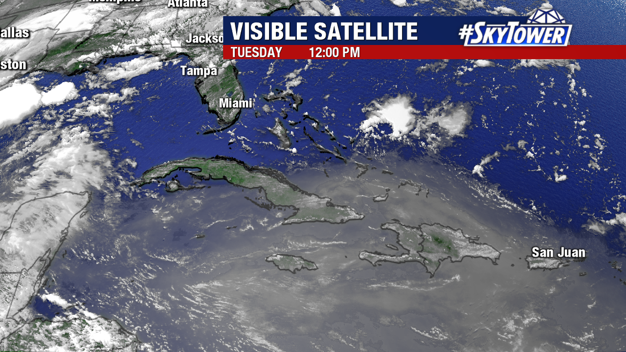
Meanwhile, we continue to watch a large plume of Saharan Dust move across the Caribbean. This will make its way into the Gulf of Mexico and as it continues to gain latitude will encounter westerly winds. These will help to move it over the state of Florida. This dust is very effective at suppressing tropical development. It also lends to colorful sunsets but can also lead to issue for those that are very sensitive to the extra particulate matter. It will be with us for a few days before it dissipates early next week.

