Large plumes of Saharan Dust have been moving across the Atlantic and now moving into the Caribbean. These dust plumes are very effective in limiting convection in tropical waves and the formation of tropical systems. The very dense area of dust over Puerto Rico is making for a very dust and hazy sky. As this Saharan Air Layer continues westward it will become noticeable across the southeastern United States. It generally cuts down our rain chances for a few days and leads to some stunning sunsets.

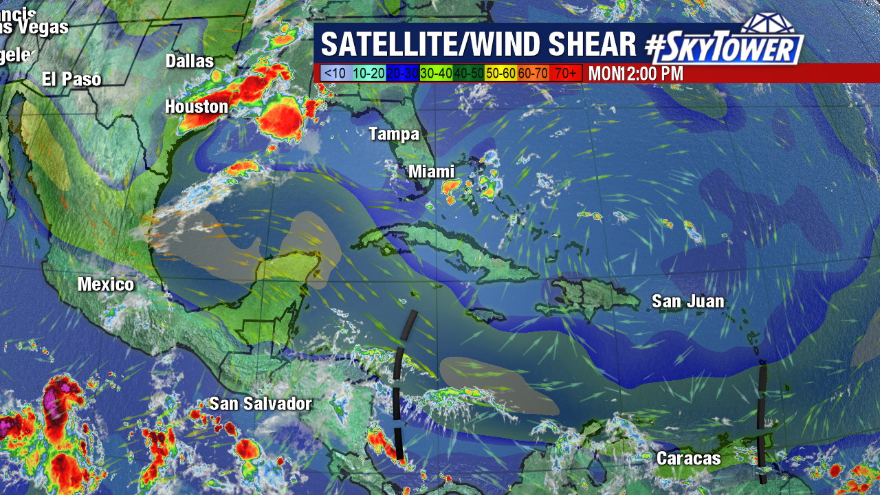
Strong wind shear also continues across much of the Tropical Atlantic Basin. Much of the central and western Caribbean into the Gulf of Mexico are virtually convection free with strong wind shear and very limited moisture with westward advancing tropical waves.

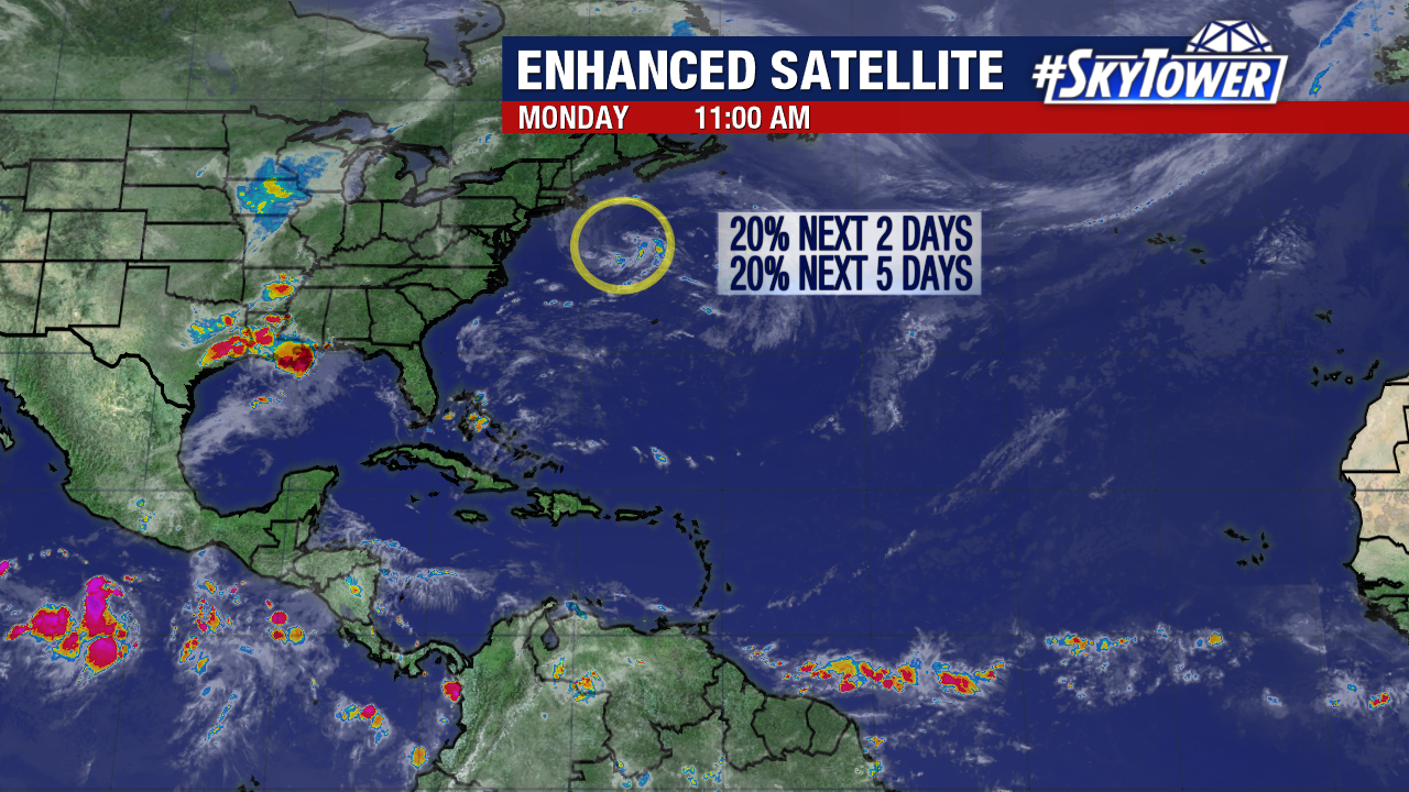
The only signs of life in the tropics are well north and not in a favored location for development. An area of low pressure several hundred miles off the coast of Cape Cod has been identified by the National Hurricane Center. They are giving a 20% chance of development over the next 2 to 5 days. Unless it can quickly tap into the warmer waters of the Gulf Stream this low has little chance of developing. Regardless of development it will continue to move over open waters and have no effect on land areas.

