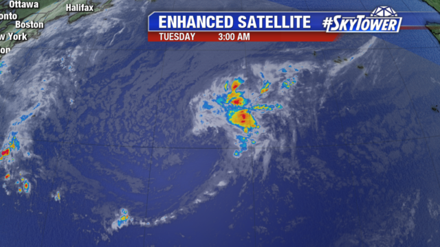
There are 3 areas we are watching in the tropics. The first is a trough of low pressure sitting over southern Florida. It is bringing much needed rainfall to the state and will head northeast into the Atlantic later today. Little development is expected as it will be absorbed into a low pressure system sitting off the southeast coast.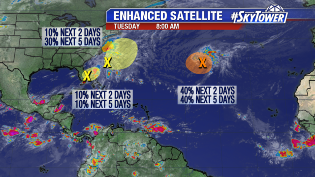
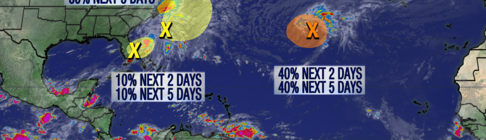
The non-tropical low pressure system sitting off the southeast coast of the United States, is the second area we are watching. It has a 30% chance of development over the next few days. It may take on some subtropical characteristics as it moves north-northeast in the Atlantic. It poses no threat to Florida but the northeast should monitor its progress.
The third area, is also a non-tropical low pressure system. It could become a tropical or sub-tropical system later today or early Wednesday morning. It has a 40% chance of developing within a narrow window. By Wednesday evening, upper level winds become unfavorable for further development.