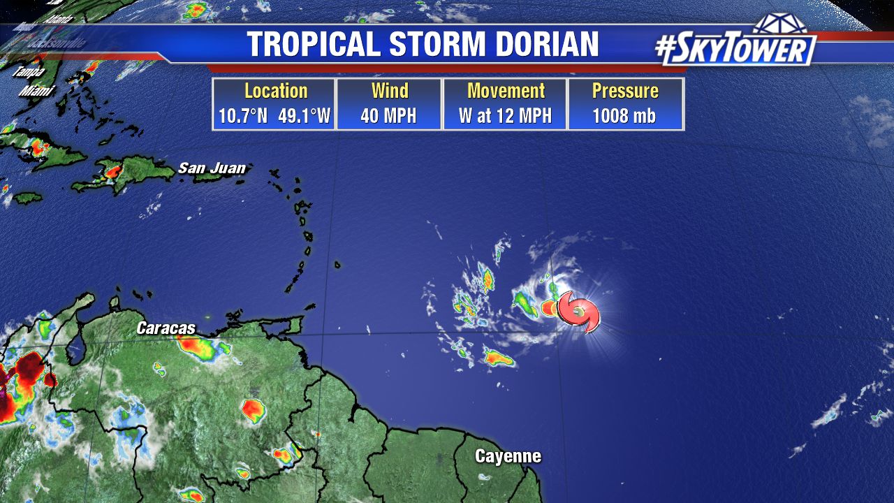
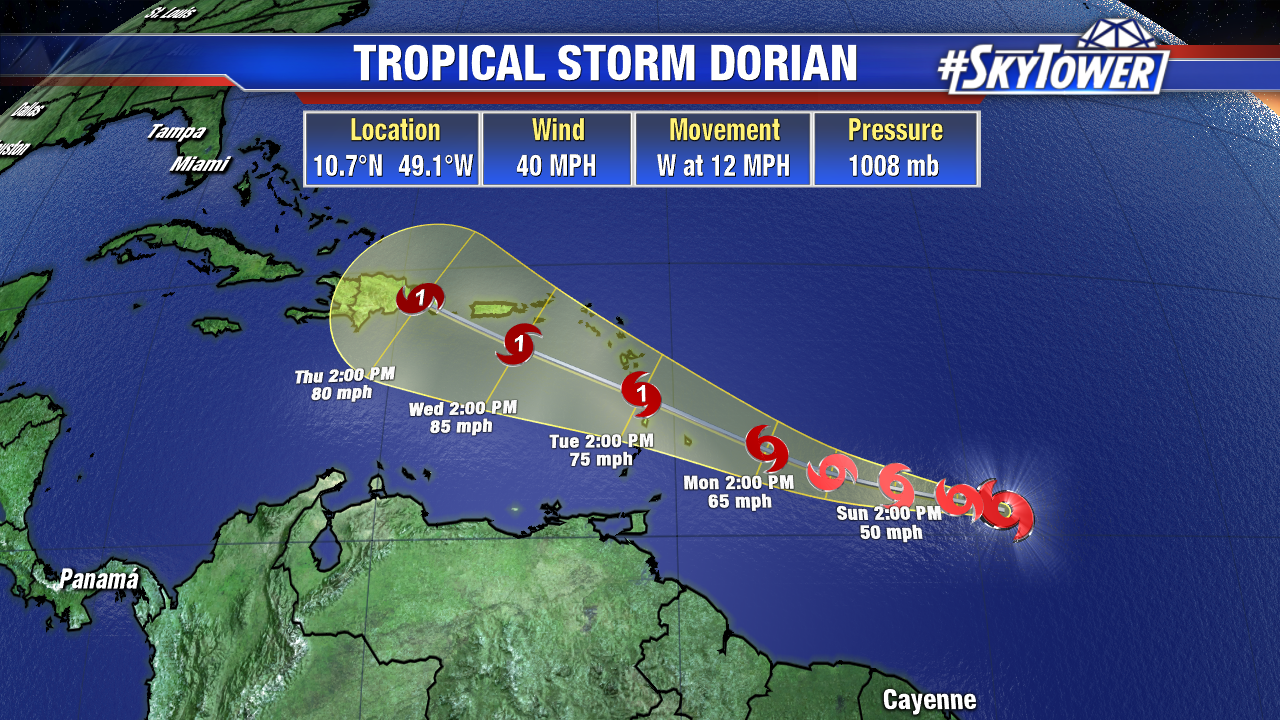
As of 8pm Saturday evening, Dorian is a minimal tropical storm with max winds of 40 mph. It’s still over 700 miles ESE of Barbados, and it will take 2 or 3 more days for the system to reach the Lesser Antilles.

Dorian will slowly be moving into a more favorable environment as it enters the Caribbean, especially in regards to wind shear. On top of that, it’ll continue to move over very warm water and the storm’s compact structure should aid in its fight against any dry air. Suffice it to say, slow and steady strengthening is expected and Dorian becoming a hurricane is certainly a possibility. Interests in the northern and eastern Caribbean should monitor the progress of this storm very closely.

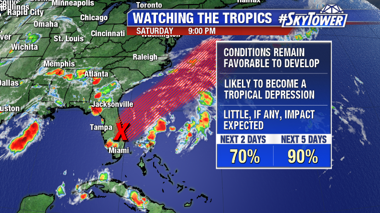
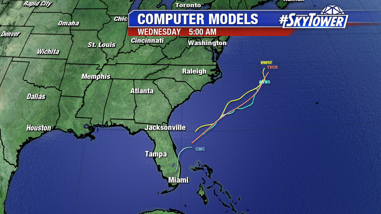
The disorganized area of showers and storms just off Florida’s east coast will have a pretty good environment to work with over the next few days as it moves northeast away from the state.

At the very least, a tropical depression, and possibly tropical storm, should form as this moves out into the Atlantic. Little to no impact is expected for the southeastern U.S. coast. The next name on the list is ‘Erin’.

