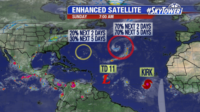
We are watching 4 areas in the Atlantic but none are a threat to land right now.

A broad area of low pressure with a disorganized area of showers and storms is still sitting south of Bermuda. It only has a low chance of development with dry air and wind shear in the vicinity. A non tropical low pressure system sits 1000 miles southwest of the Azores. It will remain fairly stationary for the next few days, with some strengthening forecast. It gets absorbed by a cold front early next week.


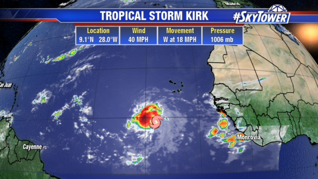
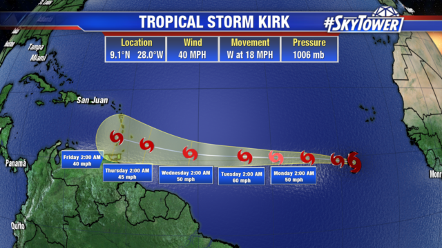
Midday Saturday the tropical wave off the coast of Africa organized into Tropical Storm Kirk. It poses no threat to land at the moment and its westward track will keep it over the water. The system may strengthen a little over the next couple of days as it moves through a relatively favorable environment. Kirk will pick up speed and head towards the Lesser Antilles late week. But just like Tropical Depression 11 it will struggle to hold together as it encounters strong wind shear in the eastern Caribbean.

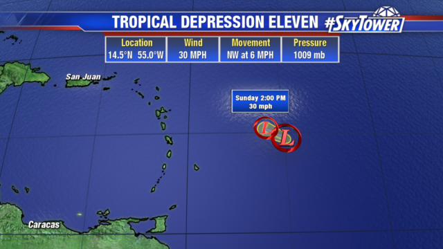
Tropical Depression 11 will likely fizzle out by this evening. It has remained nearly stationary in an area of high wind shear. Early next week it may bring a few showers and gusty winds to the Lesser Antilles.
