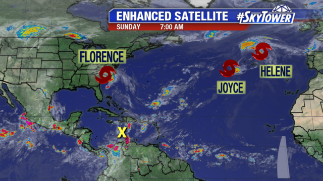
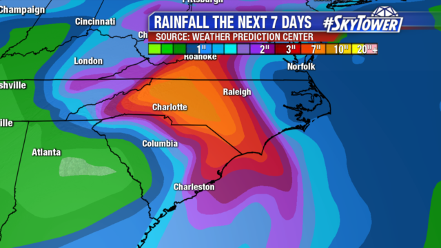
Florence has been downgraded to a tropical depression with winds of 35 mph. Heavy rain continues in the Carolinas today, but the storm is now picking up speed. By early Monday morning it will move into eastern Kentucky and then head off to the Northeast.
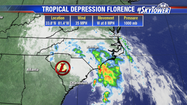
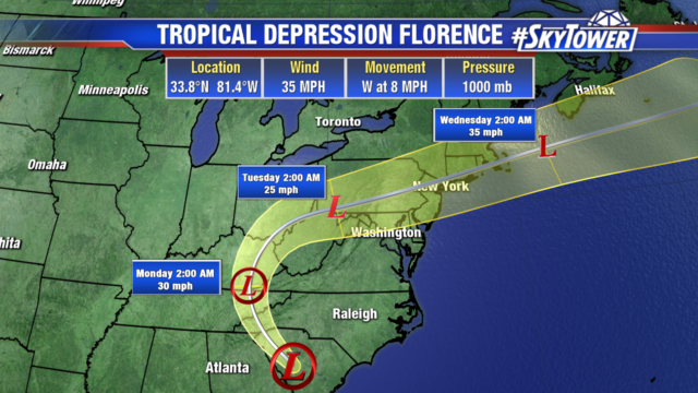
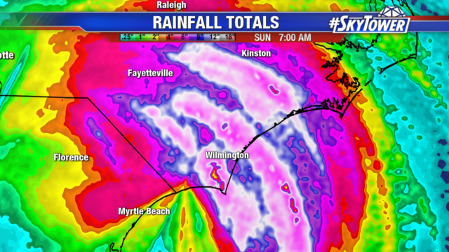
Southeast North Carolina has seen the highest rainfall totals over the past 48 hours. An additional 5-10″ is possible locally, worsening flooding in the area. Heavy rain in the mountains could cause mudslides and landslides. All of the runoff will continue to raise river levels into the middle of next week.
Joyce will remain over the open Atlantic. Helene heads northeast to the United Kingdom, bringing heavy rain and gusty winds to the area. The remnants of Isaac remain in the Caribbean with a 20% chance of development over the next 2-5 days. The main impact will be heavy rain and gusty winds to parts of the Caribbean as it moves west.
