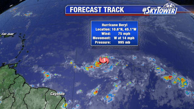
Beryl is the first named hurricane of the 2018 Atlantic Hurricane Season. As of 5 am this morning, the tropical storm was upgraded to a category 1 hurricane with sustained winds of 75 mph.

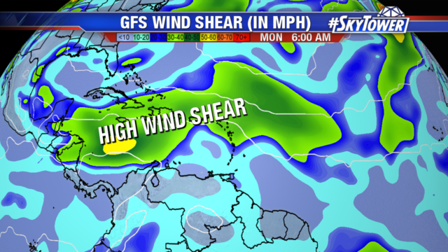
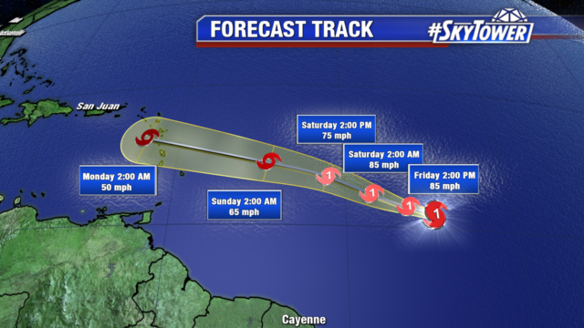
Beryl will track westward and likely strengthen over the next 24 hours. Low wind shear and waters sitting at 80 degrees will help contribute to the development of the eye wall. By Saturday night, the hurricane will battle strong wind shear, pockets of dry air and begin to rapidly weaken

Models suggest Beryl will enter the Lesser Antilles area on Sunday night as a tropical wave. Affected areas will experience heavy rain and strong winds with wind gusts up to 50 mph.

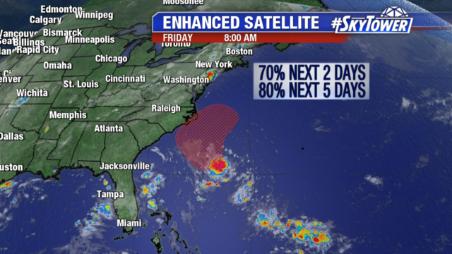
We are keeping an eye on another disturbance, a well-defined low-pressure system off the coast of the Carolinas. Environmental conditions are looking more favorable for further development as it will likely develop into a Tropical Depression over the next few days. The system will stall out or slowly move northwestward off the North Carolina coast throughout the next several days. Those in the Carolinas should closely monitor the progress of this disturbance.

