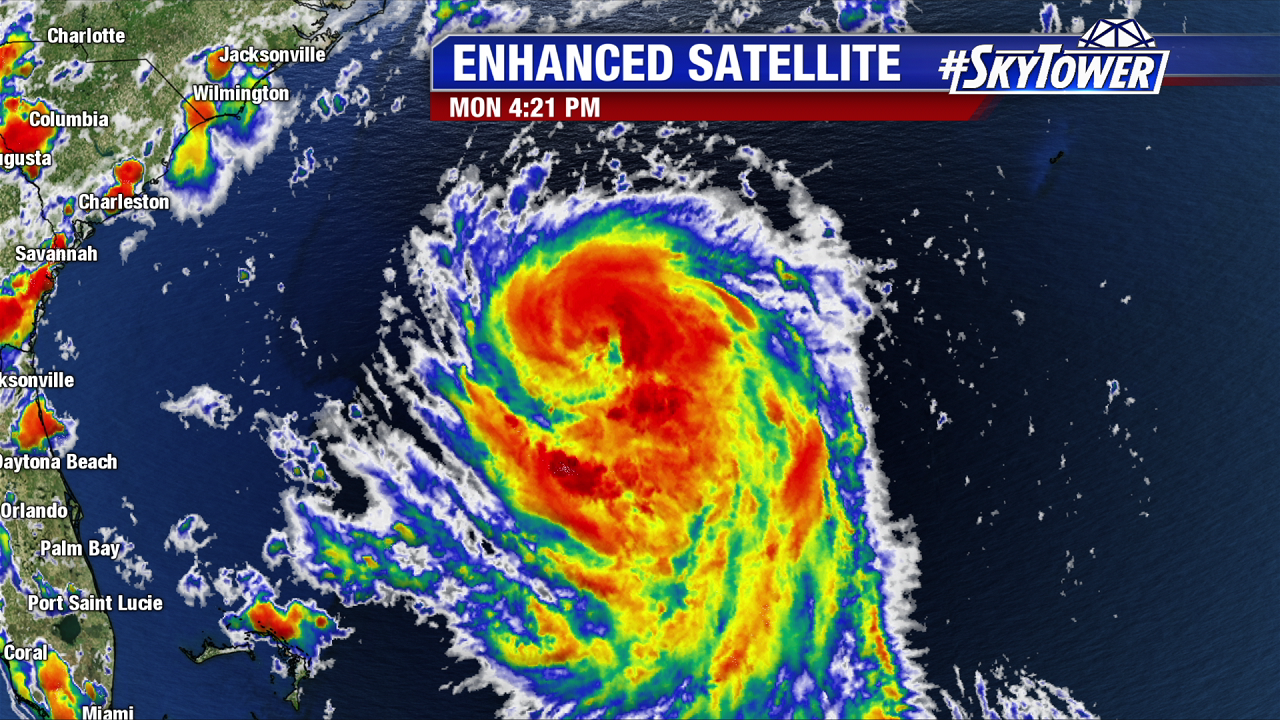
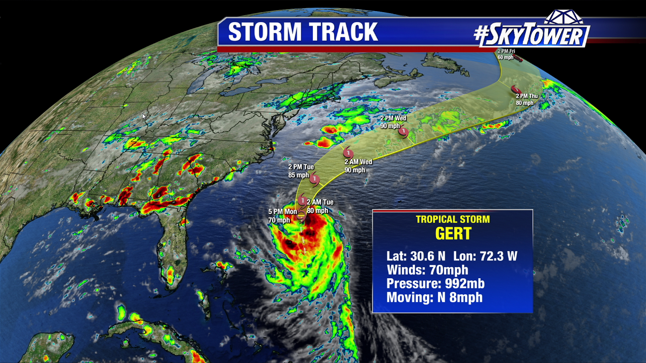
Tropical Storm Gert strengthens Monday. The storm develops good outflow and convective banding. As of the 5 PM advisory max sustained winds are just shy of hurricane strength at 70 mph as it moves north at 8 mph. Pressure has dropped steadily throughout the day and Gert will likely become the 2nd hurricane of the 2017 Atlantic Hurricane season Monday night. Gert will strengthen through mid work week over warm waters before it transitions to an extratropical low in the North Atlantic by Thursday. It is no threat to the Eastern U.S., but waves and rip currents build northward over the next few days.
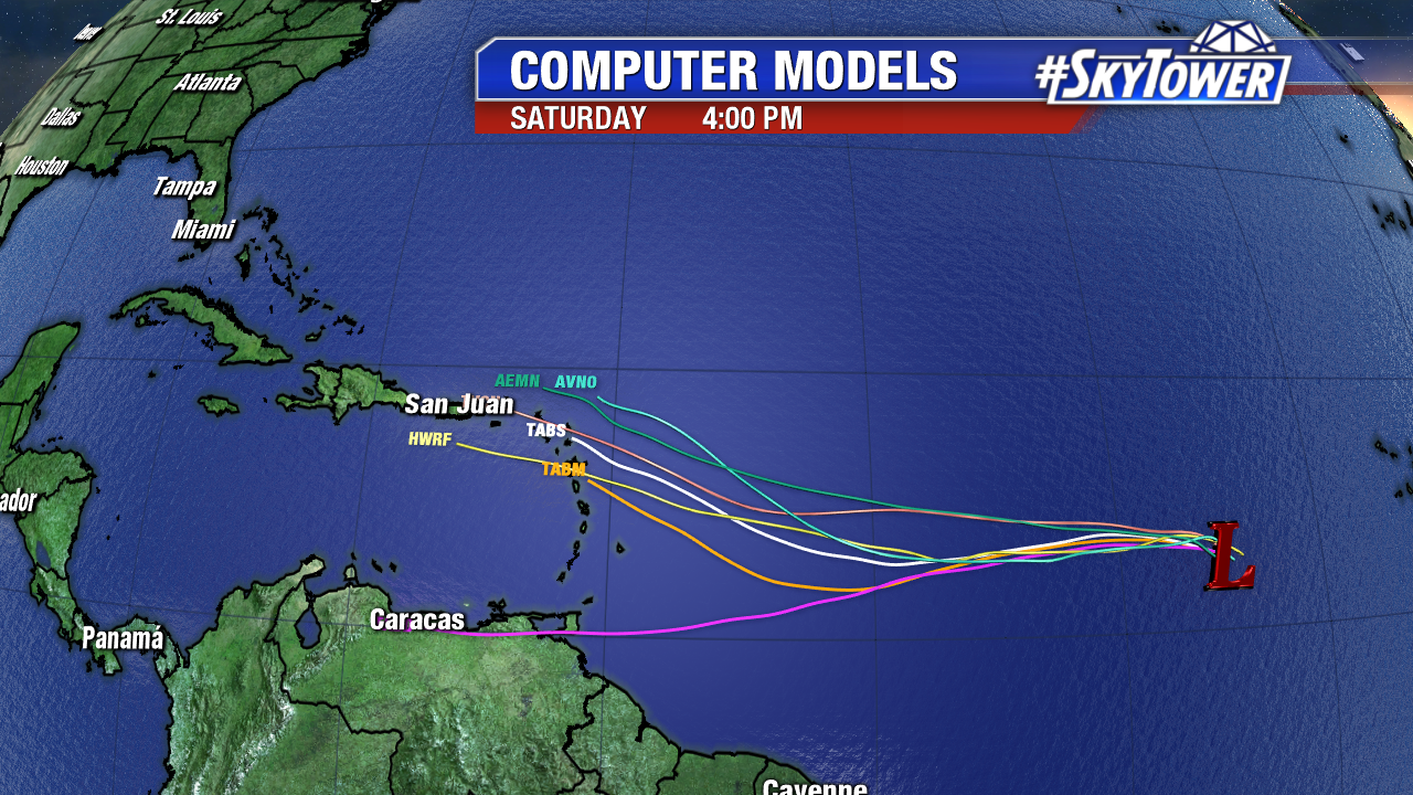
Invest 91L bears watching southwest of the Cabo Verde Islands. The disturbance rolled off the coast of Africa over the weekend. The elongated area of low pressure could gradual organize in the days ahead. As of Monday afternoon there is a 60% chance a tropical depression forms over the next 5 days. Until this feature gets a chance to consolidate, computer models will continue to struggle with the long range-track. There has been a lot of run to run inconsistency, which is often the case with a developing tropical disturbance.
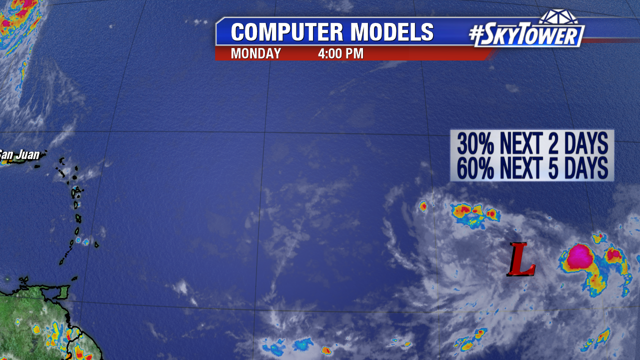
Wind shear near Invest 91L is low to moderate and the area of low pressure is in a moist environment as it moves west at 15 mph. Drier air in the mid levels of the atmosphere is nearby to its west and north, so development will be a gradual process. Invest 91L will likely moisten that path ahead of this dry air.
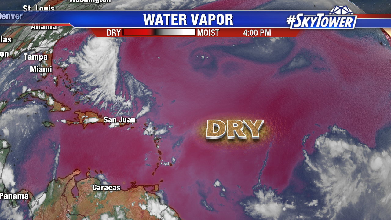
Computer models show a west and eventually west-northwest track through Saturday. This puts a possible tropical depression near the Leeward Islands early Saturday. Beyond the weekend there are even more question marks. The latest Euro is less impressed with Invest 91L down the road and brings a weak tropical storm (Harvey) through the Caribbean through early next week. The GFS also shows a weak system/eventual open wave but suggests a more northwesterly track near Turks and Caicos early next week. Stay tuned as there will likely be more big changes in the models in the days ahead.
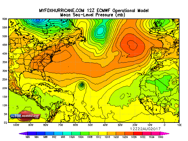
Behind Invest 91L may be another area of interest in the Atlantic, according the ECWWF. The Atlantic Basin heats up.
