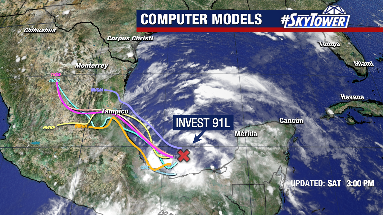
Tropical Depression Two has officially formed in the Bay of Campeche.

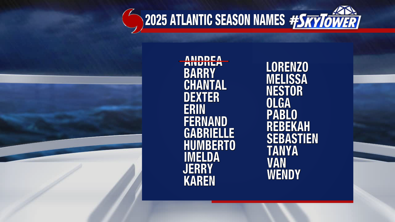
Some strengthening is expected before it makes landfall in Mexico late Sunday night or Monday, likely as a tropical storm. If it reaches that status, it would take the name “Barry.”

Tropical Storm Warnings are now in effect for portions of Mexico’s Gulf Coast. This system came together quickly, but it still poses no threat to Florida.