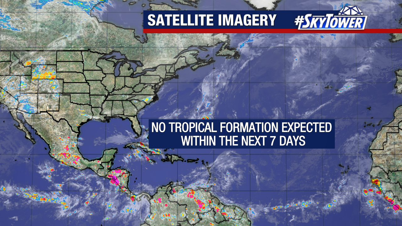
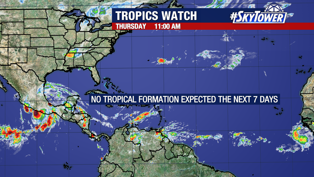
The Atlantic remains quiet. No tropical development is expected within the next seven days.
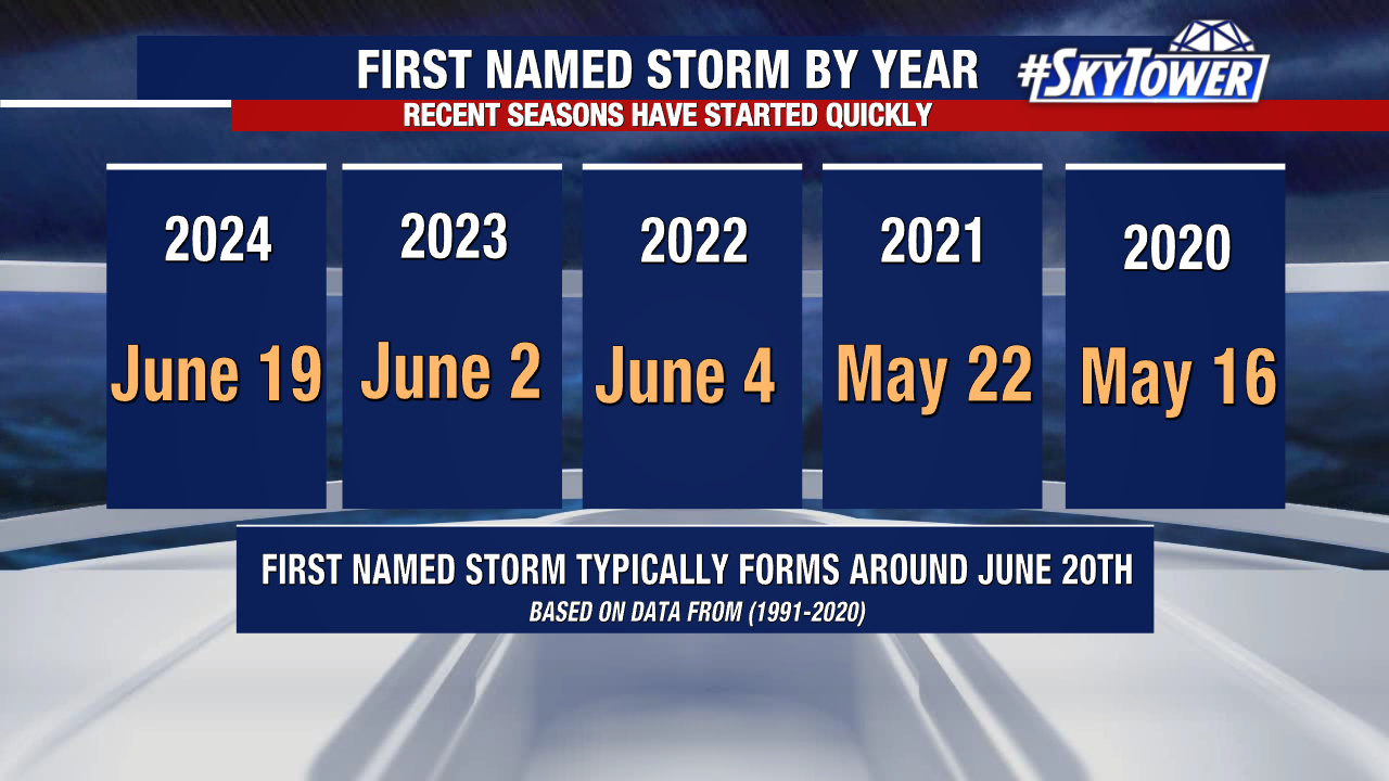
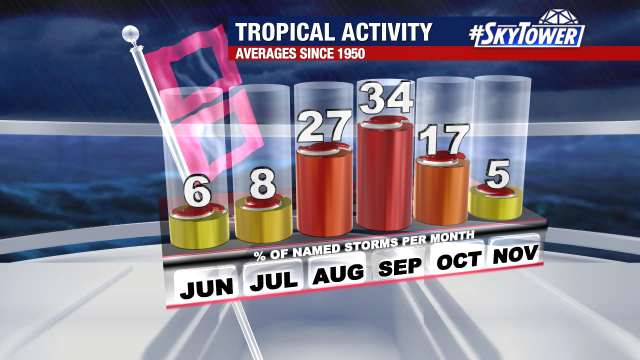
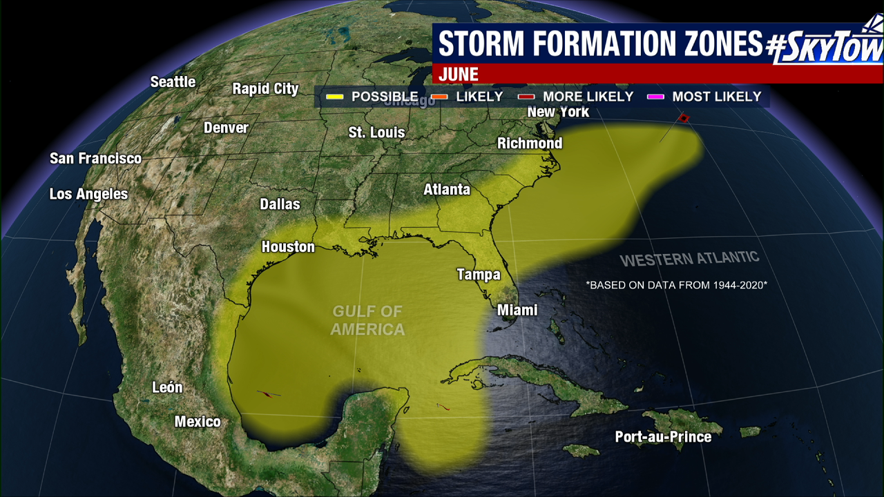
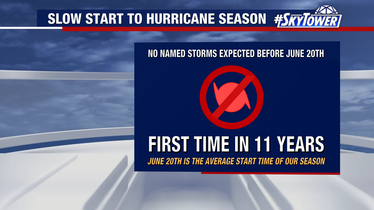
If things remain silent though Friday, this will be the slowest start we’ve had in eleven years. However, keep in mind that June only accounts for 6% of the storms within a typical Atlantic hurricane season.
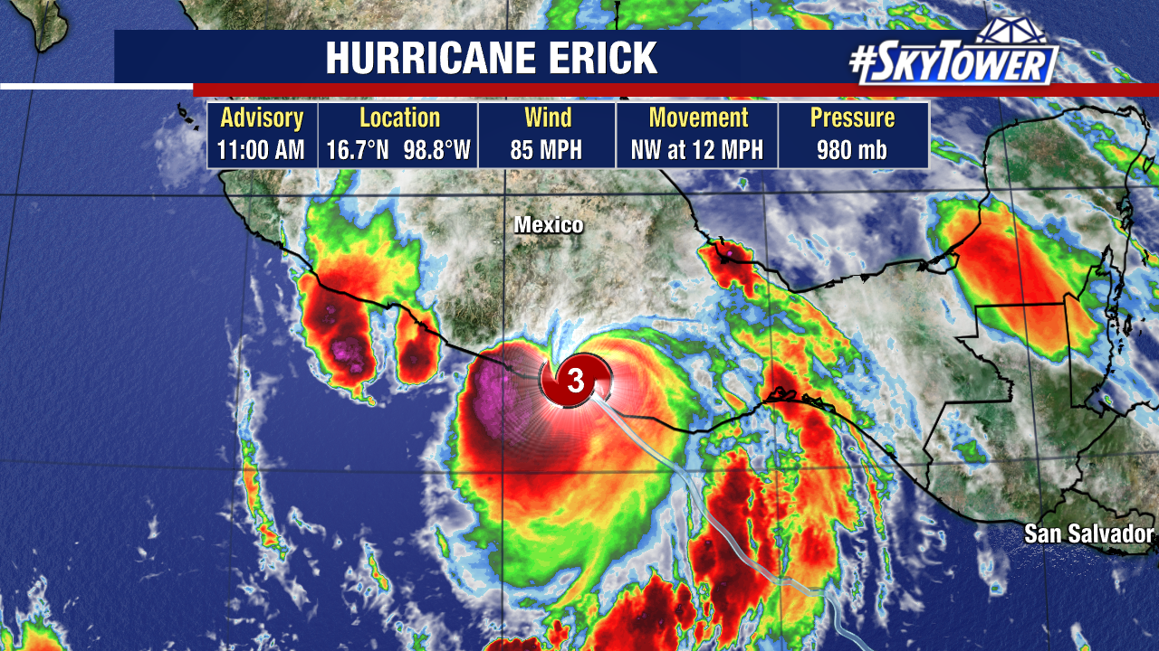
Meanwhile, the Eastern Pacific has already seen five named storms. One of which, Hurricane Erick, made landfall in Mexico this morning as a Category 3 hurricane. Erick became a high-end Category 4 hurricane last night before making landfall in extreme western Oaxaca with 125mph winds. It has since weakened substantially.