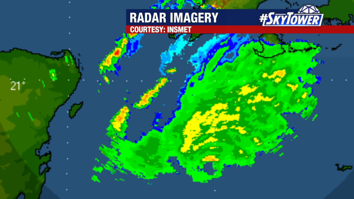
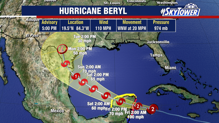
Beryl is moving across the western Caribbean and continues to slowly weaken as it deals with more hostile wind shear. Radar from western Cuba shows the northern portion of the eye continues to show intense storms. Some of the outer bands have been affecting portions of Cuba throughout the day. Conditions along the Yucatan Peninsula will begin to deteriorate late this evening with landfall expected on Friday morning.

The official forecast track has not changed much over the past 24 hours. Landfall as a hurricane on the western Caribbean coast of Mexico. The storm will rapidly weaken due to the land interactions. The trek over land should be short lived enough that Beryl will make it into Gulf of Mexico as a moderate to strong Tropical Storm. Beryl will then encounter more warm waters and conditions which should allow for strengthening once again.

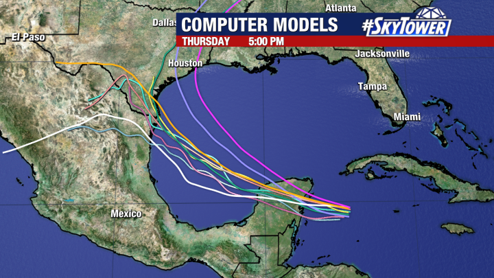
Models continue to show some uncertainty with respect to Beryl’s next landfall. Much of this will be determined by the strength of the storm and how quickly it reorganizes in the Gulf of Mexico. A weaker storm will tend to move further south, but a stronger storm will tend to move more northward since it will interact more with the trough to the north.

Models generally agree that it will take some time for Beryl to regain its intensity and the final 12-24 hours of its time over water will be the time we will likely see the most intensification. This can also be a dangerous situation to have an intensifying storm at landfall. Conditions can worsen much more quickly and catch people off guard.

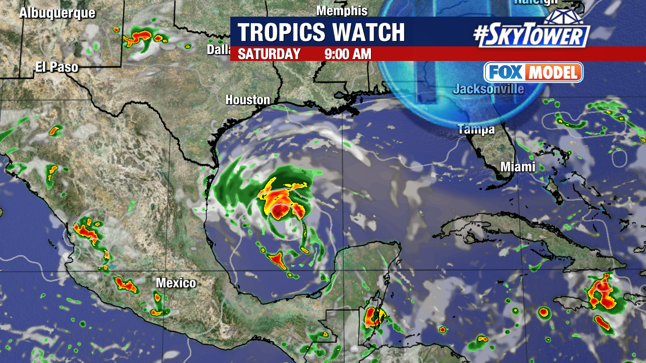
Our exclusive Fox Model depicts the ridge moving eastward and the developing weakness in the ridge and trough to the north. This will allow the storm to move more northward. The storm will also have its most intense convection on the northern side. This could bring significant flooding to southern Texas early next week.
