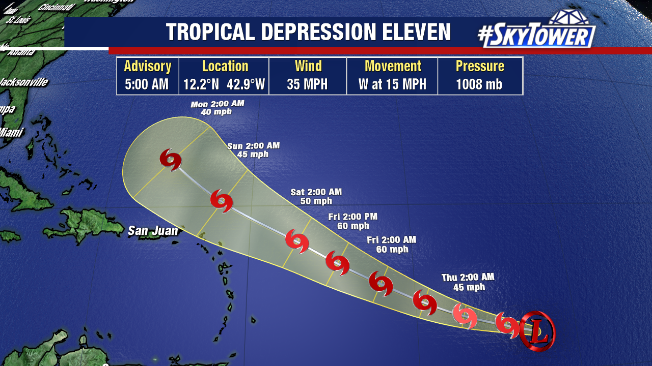
Advisories were started on the area of low pressure in the central Atlantic at 5pm on Tuesday. It had gone through a burst of convection and was looking much more organized yesterday.

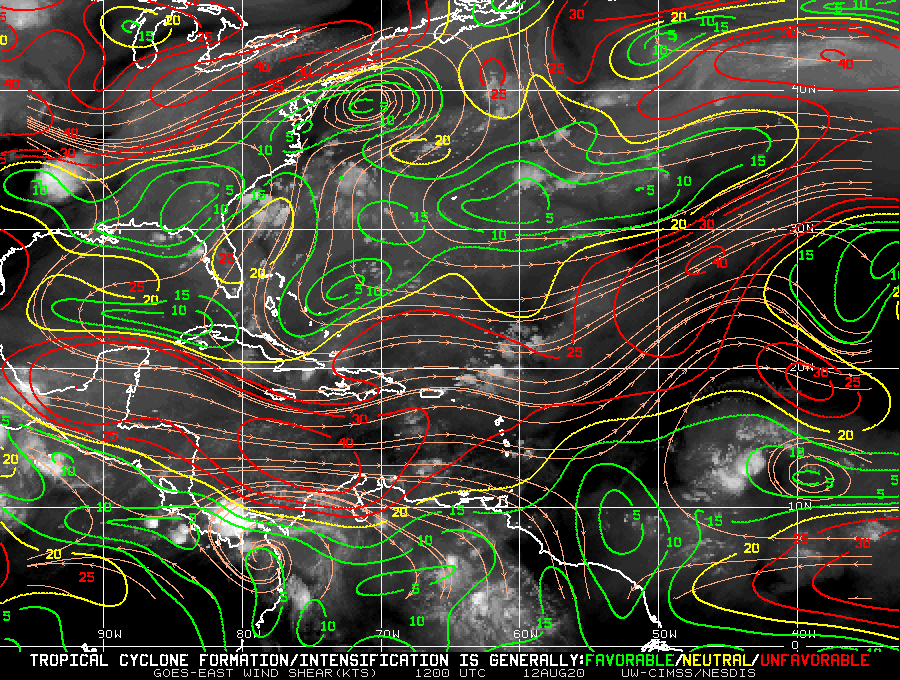
This morning the depression is not looking as well defined. Southeasterly shear and dry air have disrupted the organization and circulation. Over the next few days it will be moving into an environment of very light shear and warm SST which should allow the to intensify into Tropical Storm Josephine. It is very possible this could become a hurricane despite the current forecast from NHC.

After a few days the environment begins to change. Southwesterly shear will increase and reliable computer models are consistent with a gradual weakening trend. This combined with a trough moving off the east coast of the US will weaken and help to turn what is expected to be Josephine more northward. There is still a lot of uncertainty for the long range forecast of Tropical Depression 11, but it will have several obstacles it deal with.

