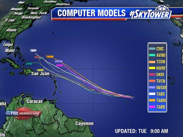
There has been a noticeable increase in organization in the area of low pressure in the central Atlantic. This was classified as Invest 95L earlier this week. The environment remains conducive for additional development over the few days.

The large Atlantic ridge will steer this system on a generally westerly course over the next several days as it is expected to become Josephine. There is very good consensus in the short term on the track and gaining intensity.

As always, the long term poses uncertainty. The wind shear is much stronger across the Caribbean and just to the north of the Leeward Islands. The health and structure of the cyclone will determine just how it handles this increase in wind shear. There is still a long time to watch this system and I expect advisories will begin later today from NHC.

