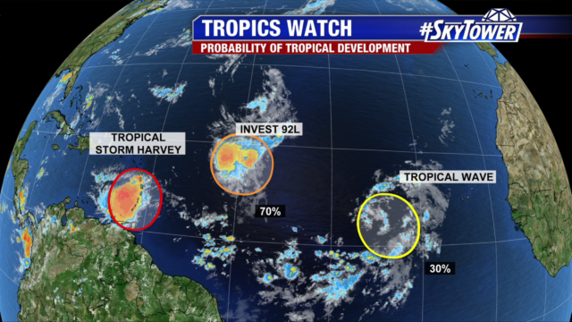
As we head towards the peak of the hurricane season (Sept 10th) we normally start to see more activity in the tropics. This year is no exception to that. Tropical Storm Harvey formed on Thursday and we will be closely watching Invest 92L over the weekend for more development. As of 11am NHC placed a 70% chance of development on Invest 92L.

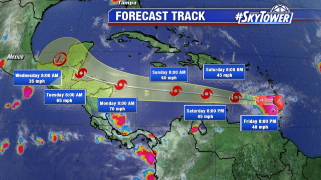
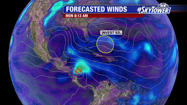
Tropical Storm Harvey has been struggling with wind shear as it moves into the Caribbean. This has kept the center of circulation along the far eastern side of the storm and the upper level center has been noted by the Hurricane Hunter to be displaced to the SW due to wind shear. This makes for a poorly organized storm which will continue to struggle. Despite that the official forecast from the Hurricane Center shows slow strengthening over the weekend and winds increasing to a strong tropical storm next week as it moves over Central America.

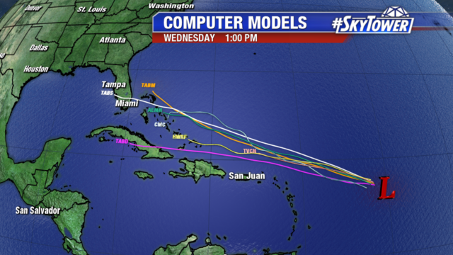
At the same time Invest 92L is moving toward the WNW now and will track just to the north of the Caribbean. The majority of computer models move this over the Bahamas and near S. Florida by the middle of next week.
 While this possible track by the various computer models may look troublesome, it also should be noted that some of the most reliable computers models (GFS and the ECMWF) do not show significant development with this area. In fact, the GFS shows this as an open tropical wave of moisture moving over the state next week. That will be the key to this system as we move into next week is just how much development we end up seeing with Invest 92L.

