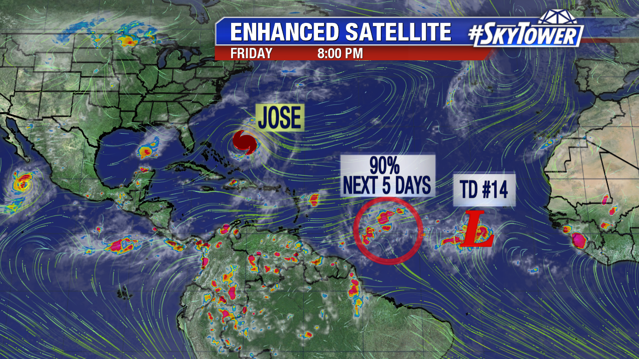
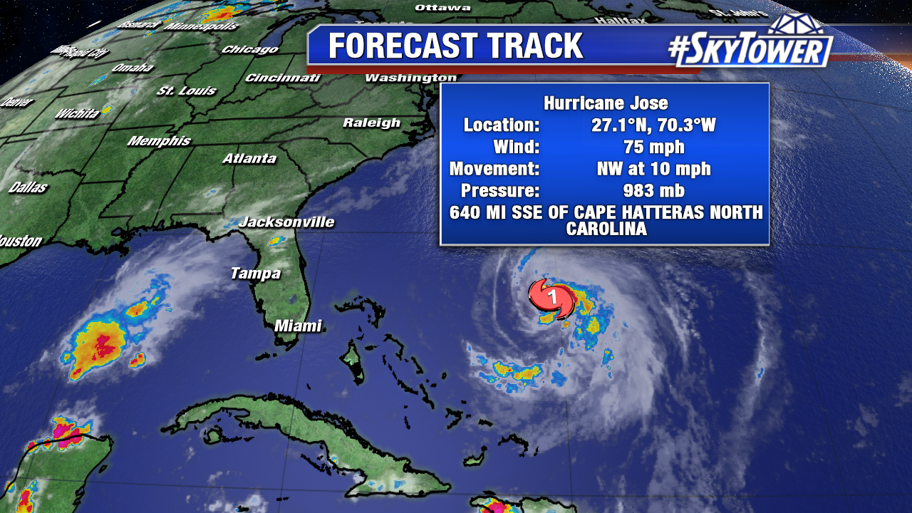
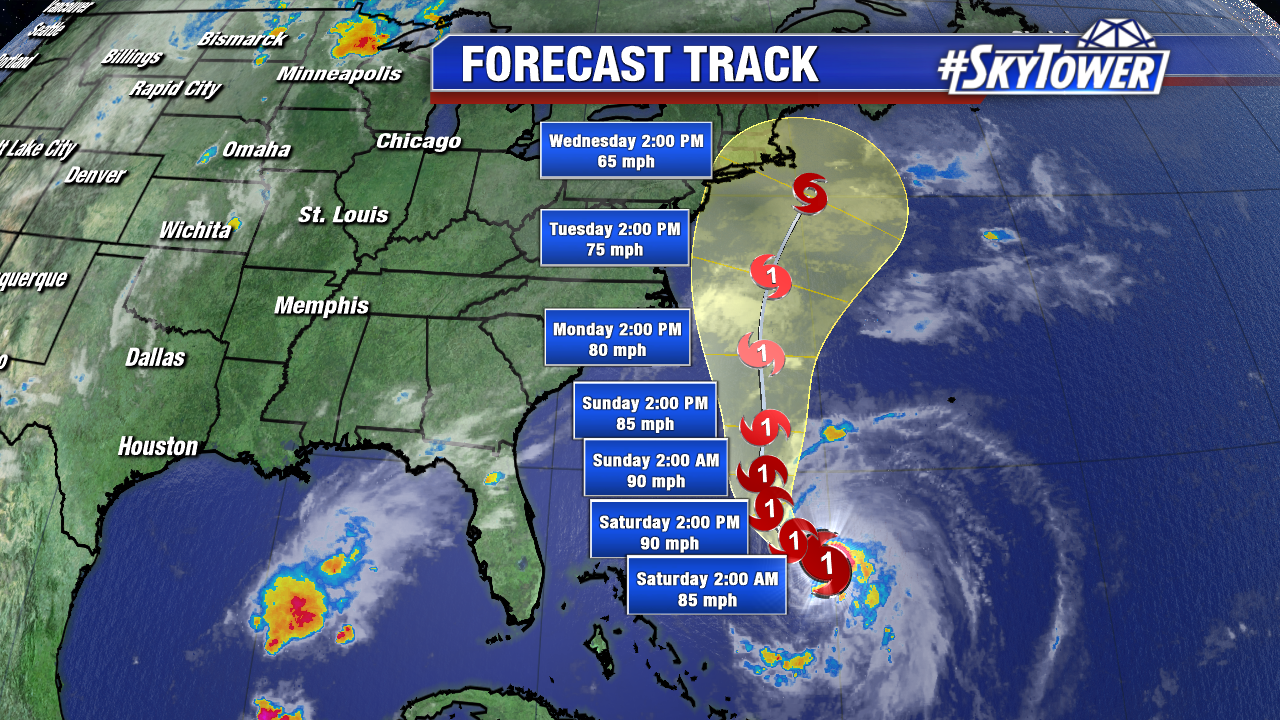
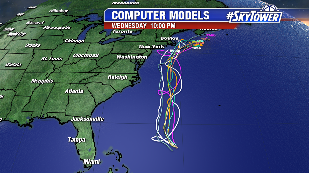
As we close out the work week, Jose is back to hurricane status. As of Friday evening sustained winds were at 75 mph and it was moving NW at 10 mph. This system won’t have an impact on anyone through the weekend, other than kicking up the surf a bit from the east coast Florida up through the Carolinas. Looking ahead to next week, folks in coastal New England will be watching this closely as it moves up from the south.
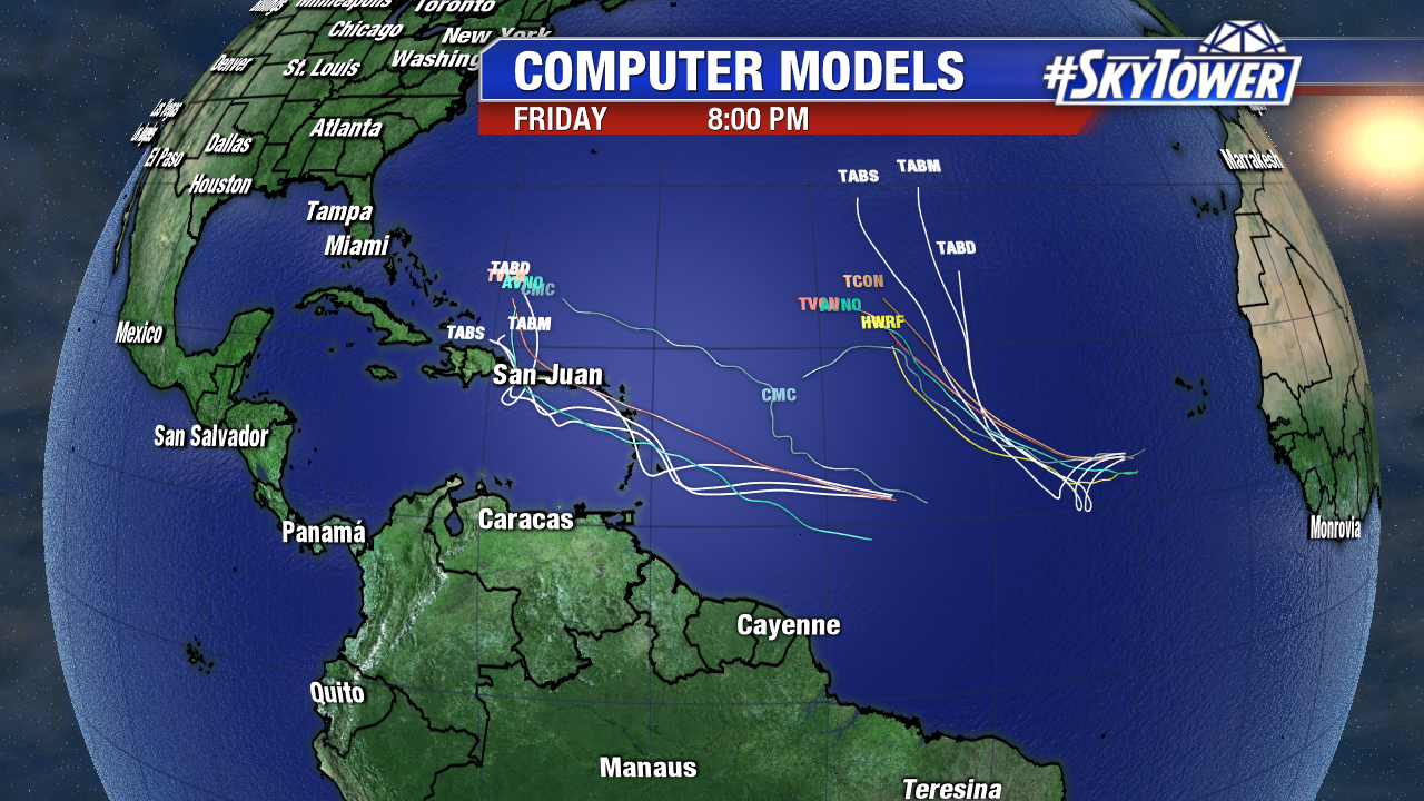
Elsewhere in the Atlantic we have two systems to watch, no surprise given the fact that we are only a few days past the peak of hurricane season. Invest 96-L and Tropical Depression 14 are likely to become Maria and Lee, respectively, over the next few days. TD 14 looks to stay over open ocean, but Invest 96 will need to be watched closely as it moves WNW over the next week. Tropical storm or hurricane watches are possible for portions of the Lesser Antilles over the weekend.
